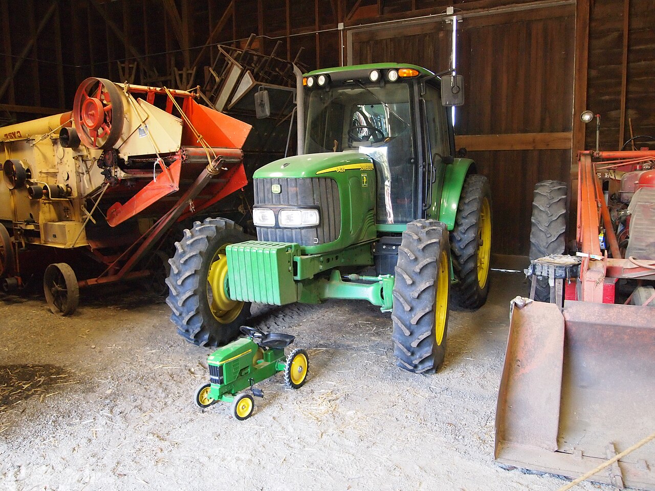
Ardenwood Historic Farm
Fremont, Alameda County, CA
- Size
- 205 acres Source
- Managed by
- East Bay Regional Park District
About Ardenwood Historic Farm
A working historic farm in Fremont that shows family farm life between 1890 and 1930. Source
Ardenwood Historic Farm offers a glimpse into life on a family farm between 1890 and 1930. Step back in time as you explore the remnants of the once vast estate of George and Clara Patterson, whose family farmed the land for over 100 years, beginning in the 1850s. East Bay Regional Park District has operated the property as a fully functioning, turn-of-the-last-century farm since 1985.
Facilities
- Drinking Water
- Historic Site
- Picnic Area
- Restrooms
Facility details: OpenStreetMap
Ardenwood Historic Farm at a glance
- WCRestrooms · 3
- WDrinking water · 7
Outline: CPAD. Points and trail lines: OpenStreetMap contributors. Not for navigation.
Getting to Ardenwood Historic Farm by bus
- Ardenwood Boulevard & Ardenwood Terrace · Routes SB, 232 · at the park edge
- Ardenwood Boulevard & Highway 84 · Routes SB, 200, 232 · 270 ft from the park
- Newark Boulevard & Jarvis Avenue · Routes SB, 200, 232 · 680 ft from the park
Bus stops within about a quarter mile of Ardenwood Historic Farm, mapped in OpenStreetMap. Check the transit agency for schedules.
Rules & reservations
Official park page- Entry fees
Entry fees apply; see the entry fee section on the official page. Source
Closed Thanksgiving and Christmas Day.
Map & directions
34600 Ardenwood Blvd., Fremont, CA 94555
37.559602, -122.046755Get directions
Nearby parks
Straight-line distanceAlameda Creek Regional TrailFremont · 1.9 mi · Drinking Water, Picnic AreaDumbarton Quarry Campground on the BayFremont · 2.1 mi · Picnic Area, PlaygroundCoyote Hills Regional ParkFremont · 2.2 mi · BBQ Grills, CampingQuarry Lakes Regional Recreation AreaFremont · 2.5 mi · BBQ Grills, Boat LaunchAlden E. Oliver Sports ParkHayward · 4.2 mi · Picnic Area, Playground
Continue exploring
Alameda County parks Parks in FremontSources & verification
Last verified: Oct 15, 2026- California Protected Areas Database (CPAD) 2026aname, county, agency, access, acres
- East Bay Regional Park District park pageofficial_url, hours, address, description, fees, dogs
- OpenStreetMap facilities and trailsfacilities.drinking-water, facilities.historic-site, facilities.picnic-area, facilities.restrooms
- U.S. Census Bureau place boundariescity
- OpenStreetMap: parking, restrooms, water, trailheads, trail lines, and bus stopsvisit
- Official park page (introduction excerpt)intro