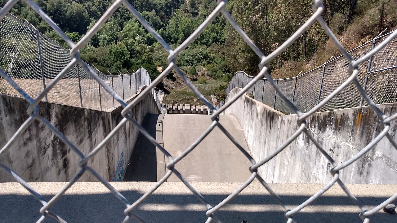
Lake Chabot Regional Park
Castro Valley, Alameda County, CA
- Size
- 624 acres Source
- Managed by
- East Bay Regional Park District
About Lake Chabot Regional Park
A 315-acre lake in Castro Valley with a marina, fishing, boating, and trails. Source
Lake Chabot has several fishing piers that include one with access for the disabled, and there is a wheelchair ramp from the parking lot to the marina. Within the marina area, there are wheelchair accessible restrooms, drinking fountains and picnic tables. The disabled parking spaces are located in the main lot.
Facilities
- Drinking Water
Facility details: OpenStreetMap
Trails
| Trail | Mapped length |
|---|---|
| Willow View Trail | 1 mi |
| McGregor George Trail | 0.7 mi |
| Upper Bass Cove Trail | 0.7 mi |
| Ten Hills Trail | 0.3 mi |
| Goldenrod Trail | 0.2 mi |
| Indian Cove Trail | 0.2 mi |
Trail names and mapped lengths come from OpenStreetMap; lengths count only the part inside the park boundary. Use the official guide map for the route and current closures.
Getting to Lake Chabot Regional Park by bus
- Juvenile Justice Center · Routes 35 · 310 ft from the park
- Fairmont Drive & Placer Drive · Routes 35 · 360 ft from the park
- Juvenile Justice Center Lower Parking Lot · 440 ft from the park
- Fairmont Drive & 150th Avenue · Routes 35 · 1140 ft from the park
Bus stops within about a quarter mile of Lake Chabot Regional Park, mapped in OpenStreetMap. Check the transit agency for schedules.
Rules & reservations
Official park page- Dogs
Dogs must be leashed in parking lots, picnic areas, lawns, and other developed areas, and may be off leash under control in undeveloped open space (district rules). Source
- Fishing access
A $5 daily fishing access permit is required. Source
Gate opens 6 a.m. and closes 6–9 p.m. by season. Marina: 7 a.m.–4 p.m.
Map & directions
17600 Lake Chabot Rd., Castro Valley, CA 94546
Nearby parks
Straight-line distanceContinue exploring
Alameda County parks Parks in Castro ValleySources & verification
Last verified: Oct 15, 2026- California Protected Areas Database (CPAD) 2026aname, county, agency, access, acres
- East Bay Regional Park District dog rulesdogs
- East Bay Regional Park District park pageofficial_url, hours, address, description, fees
- OpenStreetMap facilities and trailsfacilities.drinking-water, trails
- U.S. Census Bureau place boundariescity
- OpenStreetMap: parking, restrooms, water, trailheads, trail lines, and bus stopsvisit
- Official park page (introduction excerpt)intro