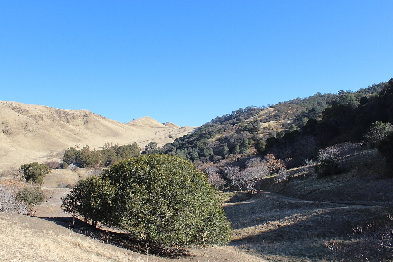
Black Diamond Mines Regional Preserve
Antioch, Contra Costa County, CA
- Size
- 4,646 acres Source
- Managed by
- East Bay Regional Park District
About Black Diamond Mines Regional Preserve
Former coal mining country near Antioch with mining history and hilly trails. Source
The East Bay Regional Park District began acquiring land for Black Diamond Mines Regional Preserve in the early 1970s. Today, most of the mining district is within the Preserve's nearly 8,533 acres. The area is an ideal location for hiking, picnicking and nature study. Naturalists conduct a variety of programs relating the Preserve's natural and historic resources. For information phone (510) 544-2750 .
Facilities
- Camping
- Drinking Water
- Historic Site
- Picnic Area
- Restrooms
Facility details: OpenStreetMap
Black Diamond Mines Regional Preserve at a glance
- PParking · 3
- WCRestrooms · 4
- WDrinking water · 2
- iVisitor center · 1: Sidney Flat Visitor Center
- Named trails · 12
Outline: CPAD. Points and trail lines: OpenStreetMap contributors. Not for navigation.
Trails
| Trail | Mapped length | Elevation | Surface & uses |
|---|---|---|---|
| Stewartville Trail | 4.1 mi | 1,343 ft up & down292–1,140 ft | UnpavedBikesHorses |
| Black Diamond Trail | 3 mi | 1,345 ft up & down751–1,609 ft | UnpavedBikesHorses |
| Old Homestead Loop Trail | 3 mi | 1,321 ft up & down274–898 ft | UnpavedBikesHorses |
| Lougher Loop Trail | 3 mi | 1,772 ft up & down437–1,226 ft | UnpavedBikesHorses |
| Ridge Trail | 2.8 mi | 1,237 ft up & down551–1,274 ft | UnpavedBikesHorsesNo bikesNo horses |
| Star Mine Trail | 2.7 mi | 822 ft up & down392–847 ft | UnpavedBikesHorsesNo bikesNo horses |
| River View Trail | 2.5 mi | 1,300 ft up & down259–1,049 ft | UnpavedBikesHorses |
| Contra Loma Trail | 1.3 mi | 594 ft up & down300–914 ft | UnpavedBikesHorses |
| Nortonville Trail | 1.2 mi | 725 ft up & down738–1,114 ft | |
| Upper Oil Canyon Trail | 1.2 mi | 672 ft up & down501–1,187 ft | UnpavedBikesHorses |
| Carbondale Trail | 1.1 mi | 415 ft up & down910–1,192 ft | UnpavedBikesHorses |
| Loop Trail | 1.1 mi | 613 ft up & down249–822 ft | UnpavedBikesHorses |
Trail names and mapped lengths come from OpenStreetMap; lengths count only the part inside the park boundary. Up-and-down totals (climbing plus descent, one way) and elevation ranges are estimates from USGS 3DEP elevation (about 15 m grid) sampled along the mapped line. Use the official guide map for the route and current closures.
Rules & reservations
Official park page- Dogs
Dogs must be leashed in parking lots, picnic areas, lawns, and other developed areas, and may be off leash under control in undeveloped open space (district rules). Source
Gate hours change through the year; check the posted schedule. Greathouse Visitor Center: Fridays 10 a.m.–2 p.m., weekends 10 a.m.–4 p.m.
Map & directions
5175 Somersville Road, Antioch, CA 94509
Nearby parks
Straight-line distanceContinue exploring
Contra Costa County parksSources & verification
Last verified: Oct 15, 2026- California Protected Areas Database (CPAD) 2026aname, county, agency, access, acres
- East Bay Regional Park District dog rulesdogs
- East Bay Regional Park District park pageofficial_url, hours, address, description, fees
- OpenStreetMap facilities and trailsfacilities.camping, facilities.drinking-water, facilities.historic-site, facilities.picnic-area, facilities.restrooms, trails
- U.S. Census Bureau place boundaries (nearest place)city
- OpenStreetMap: parking, restrooms, water, trailheads, trail lines, and bus stopsvisit
- Terrain Tiles elevation (USGS 3DEP), sampled every 20 m along OpenStreetMap trail linestrails.elevation
- Official park page (introduction excerpt)intro