Tilden Nature Area
Richmond, Contra Costa County, CA
- Size
- 710 acres Source
- Managed by
- East Bay Regional Park District
About Tilden Nature Area
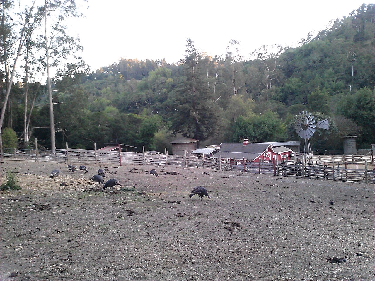
The nature study area of Tilden Regional Park, with an environmental education center. Source
Tilden Nature Area is a 740-acre preserve located just North of Charles Lee Tilden Regional Park . With over 10 miles of hiking trails, the preserve contains a blend of native and introduced plant communities, including oak/bay woodlands, grasslands, eucalyptus forests, and streams. Hikes range from the leisurely, self-guided Jewel Lake Nature Trail to a vigorous climb up Wildcat Peak (elevation 1,211 ft.) for panoramic, San Francisco Bay views.
Facilities
- Camping
- Drinking Water
- Picnic Area
- Playground
- Restrooms
Facility details: OpenStreetMap
Tilden Nature Area at a glance
- PParking · 3
- WCRestrooms · 4
- WDrinking water · 6
- Named trails · 12
Outline: CPAD. Points and trail lines: OpenStreetMap contributors. Not for navigation.
Trails
| Trail | Mapped length | Elevation | Surface & uses |
|---|---|---|---|
| Wildcat Peak Trail | 1.5 mi | 733 ft up & down692–1,209 ft | No bikesNo horsesUnpaved |
| Laurel Canyon Trail | 1.1 mi | 377 ft up & down549–933 ft | UnpavedNo bikesNo horses |
| Wildcat Creek Trail | 1 mi | 83 ft up & down461–539 ft | No bikesUnpavedBikes |
| Loop Road | 0.9 mi | 187 ft up & down520–644 ft | UnpavedBikesHorses |
| Jewel Lake Trail | 0.9 mi | 131 ft up & down513–582 ft | UnpavedNo bikesNo horses |
| Laurel Canyon Road | 0.7 mi | 373 ft up & down609–995 ft | No bikesHorses |
| Sylvan Trail | 0.6 mi | 219 ft up & down548–692 ft | No bikesNo horses |
| Pine Tree Trail | 0.6 mi | 295 ft up & down633–840 ft | UnpavedNo bikesNo horses |
| Ye Olde School Trail | 0.5 mi | 102 ft up & down759–842 ft | UnpavedBikes |
| Upper Packrat Trail | 0.4 mi | 97 ft up & down520–627 ft | UnpavedNo bikesNo horses |
| Lower Packrat Trail | 0.4 mi | 82 ft up & down510–558 ft | UnpavedNo bikesNo horses |
| Memory Trail | 0.4 mi | 164 ft up & down533–697 ft | UnpavedNo bikesNo horses |
Trail names and mapped lengths come from OpenStreetMap; lengths count only the part inside the park boundary. Up-and-down totals (climbing plus descent, one way) and elevation ranges are estimates from USGS 3DEP elevation (about 15 m grid) sampled along the mapped line. Use the official guide map for the route and current closures.
Getting to Tilden Nature Area by bus
- Tilden Park Environmental Center · Routes 67 · at the park edge
- Tilden Park Pony Rides · Routes 67 · 220 ft from the park
- Purdue Avenue & Kenyon Avenue · Routes 67 · 470 ft from the park
- Beloit Avenue & Grizzly Peak Boulevard · Routes 67 · 490 ft from the park
Bus stops within about a quarter mile of Tilden Nature Area, mapped in OpenStreetMap. Check the transit agency for schedules.
Rules & reservations
Official park pageMap & directions
37.914783, -122.264629Get directions
Nearby parks
Straight-line distanceCharles Lee Tilden Regional ParkBerkeley · 1.2 mi · BBQ Grills, CampingWildcat Canyon Regional ParkRichmond · 2.1 mi · Drinking Water, Historic SiteKennedy Grove Regional Recreation AreaEl Sobrante · 2.5 mi · Drinking Water, Picnic AreaPoint Isabel Regional ShorelineRichmond · 3.1 mi · Off-Leash Area, Drinking WaterSobrante Ridge Botanic Regional PreserveRichmond · 3.6 mi · Picnic Area
Continue exploring
Contra Costa County parks Parks in Richmond PlaygroundsSources & verification
Last verified: Oct 15, 2026- California Protected Areas Database (CPAD) 2026aname, county, agency, access, acres
- East Bay Regional Park District park pageofficial_url, hours, description, fees, dogs
- OpenStreetMap facilities and trailsfacilities.camping, facilities.drinking-water, facilities.picnic-area, facilities.playground, facilities.restrooms, trails
- U.S. Census Bureau place boundaries (nearest place)city
- OpenStreetMap: parking, restrooms, water, trailheads, trail lines, and bus stopsvisit
- Terrain Tiles elevation (USGS 3DEP), sampled every 20 m along OpenStreetMap trail linestrails.elevation
- Official park page (introduction excerpt)intro