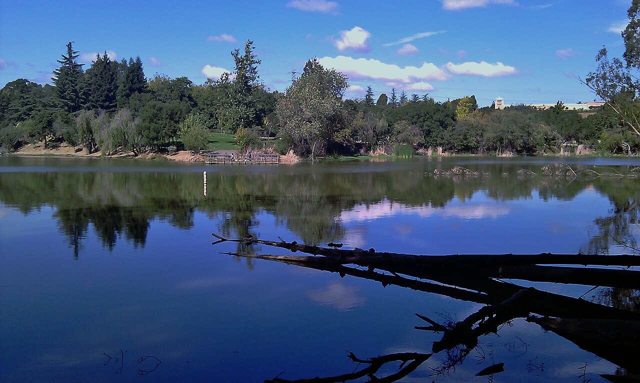
Don Castro Regional Recreation Area
Fairview, Alameda County, CA
- Size
- 95 acres Source
- Swimming
- Lagoon reopens in 2027 Source
- Managed by
- East Bay Regional Park District
About Don Castro Regional Recreation Area
A 101-acre park between Hayward and Castro Valley with a lake and swim lagoon. Source
Don Castro Regional Park is a 101-acre urban oasis on the boundary between Hayward and Castro Valley. The clear blue waters of the swim lagoon are a favorite with central Alameda County residents. The lagoon and adjacent lake were created in 1964 when the Alameda Flood Control and Water Conservation District dammed San Lorenzo Creek.
Facilities
- Picnic Area
- Restrooms
Facility details: OpenStreetMap
Don Castro Regional Recreation Area at a glance
- PParking · 2
- WCRestrooms · 4
- Named trails · 3
Outline: CPAD. Points and trail lines: OpenStreetMap contributors. Not for navigation.
Trails
| Trail | Mapped length | Elevation | Surface & uses |
|---|---|---|---|
| Bay Area Ridge Trail | 0.3 mi | 90 ft up & down248–302 ft | UnpavedBikes |
| Twilight Trail | 0.2 mi | 74 ft up & down176–263 ft | |
| Ridgetop Trail | 0.1 mi | 39 ft up & down243–292 ft |
Trail names and mapped lengths come from OpenStreetMap; lengths count only the part inside the park boundary. Up-and-down totals (climbing plus descent, one way) and elevation ranges are estimates from USGS 3DEP elevation (about 15 m grid) sampled along the mapped line. Use the official guide map for the route and current closures.
Getting to Don Castro Regional Recreation Area by bus
- Kelly Street & Mossy Rock Drive · Routes 95 · 980 ft from the park
- Kelly Street & Byron Street · Routes 95 · 980 ft from the park
- Eddy Street & Kelly Street · Routes 95 · 1020 ft from the park
- Kelly Street & Prime Avenue · Routes 95 · 1240 ft from the park
Bus stops within about a quarter mile of Don Castro Regional Recreation Area, mapped in OpenStreetMap. Check the transit agency for schedules.
Rules & reservations
Official park pageOpen until 10 p.m. March–October and 8 p.m. November–February. Park curfew 10 p.m. to 5 a.m.
Map & directions
22400 Woodroe Avenue, Hayward, CA 94541
Nearby parks
Straight-line distanceContinue exploring
Alameda County parks Parks in FairviewSources & verification
Last verified: Oct 15, 2026- California Protected Areas Database (CPAD) 2026aname, county, agency, access, acres
- East Bay Regional Park District park pageofficial_url, hours, address, description, fees, swimming
- OpenStreetMap facilities and trailsfacilities.picnic-area, facilities.restrooms, trails
- U.S. Census Bureau place boundariescity
- OpenStreetMap: parking, restrooms, water, trailheads, trail lines, and bus stopsvisit
- Terrain Tiles elevation (USGS 3DEP), sampled every 20 m along OpenStreetMap trail linestrails.elevation
- Official park page (introduction excerpt)intro