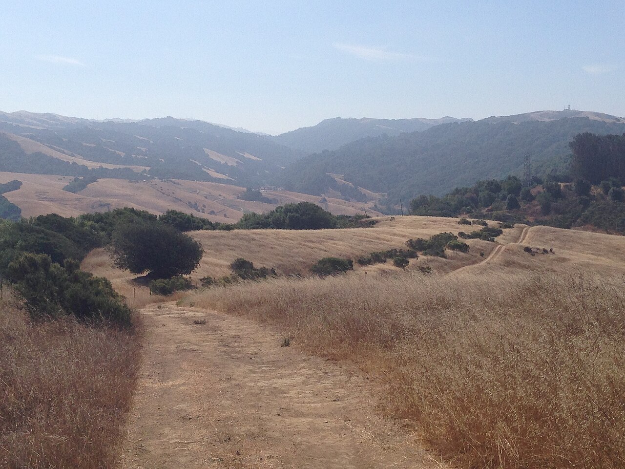
Five Canyons Open Space
Castro Valley, Alameda County, CA
- Size
- 226 acres Source
- Managed by
- East Bay Regional Park District
About Five Canyons Open Space
More than 300 acres of Castro Valley open space with five miles of trails, including Bay Area Ridge Trail. Source
Five Canyons Open Space in Castro Valley has more than 300 acres of open space and five miles of trails, including a vital segment of the Bay Area Ridge Trail, a nine-county ridgeline trail circling the San Francisco Bay Region.
Sunrise & sunset
Five Canyons Open Space hours follow the sun (8 a.m. to dusk). Mid-month times for this location:
| Month | Sunrise | Sunset |
|---|---|---|
| Jan | 7:22 a.m. | 5:11 p.m. |
| Feb | 6:58 a.m. | 5:45 p.m. |
| Mar | 7:21 a.m. | 7:14 p.m. |
| Apr | 6:34 a.m. | 7:42 p.m. |
| May | 5:59 a.m. | 8:09 p.m. |
| Jun | 5:45 a.m. | 8:30 p.m. |
| Jul | 5:57 a.m. | 8:30 p.m. |
| Aug | 6:23 a.m. | 8:02 p.m. |
| Sep | 6:48 a.m. | 7:18 p.m. |
| Oct | 7:15 a.m. | 6:32 p.m. |
| Nov | 6:47 a.m. | 4:58 p.m. |
| Dec | 7:15 a.m. | 4:50 p.m. |
Calculated from the park's coordinates (NOAA solar equations), Pacific time.
Trails
| Trail | Mapped length | Elevation | Surface & uses |
|---|---|---|---|
| Shady Canyon Trail | 0.9 mi | 379 ft up & down368–774 ft | BikesHorses |
| Chabot to Garin Regional Trail | 0.7 mi | 222 ft up & down751–930 ft | BikesHorses |
| Deer Canyon Trail | 0.6 mi | 64 ft up & down499–591 ft | |
| Newt Pond Trail | 0.4 mi | 197 ft up & down458–787 ft | BikesHorses |
| Sandstone Trail | 0.3 mi | ||
| Diamond View Trail | 0.1 mi |
Trail names and mapped lengths come from OpenStreetMap; lengths count only the part inside the park boundary. Up-and-down totals (climbing plus descent, one way) and elevation ranges are estimates from USGS 3DEP elevation (about 15 m grid) sampled along the mapped line. Use the official guide map for the route and current closures.
Rules & reservations
Official park page- Dogs
Dogs must be leashed in parking lots, picnic areas, lawns, and other developed areas, and may be off leash under control in undeveloped open space (district rules). Source
Map & directions
5909 Gold Creek Dr, Castro Valley, CA 94552
Nearby parks
Straight-line distanceContinue exploring
Alameda County parks Parks in Castro ValleySources & verification
Last verified: Oct 15, 2026- California Protected Areas Database (CPAD) 2026aname, county, agency, access, acres
- East Bay Regional Park District dog rulesdogs
- East Bay Regional Park District park pageofficial_url, hours, address, description, fees
- OpenStreetMap facilities and trailstrails
- U.S. Census Bureau place boundariescity
- OpenStreetMap: parking, restrooms, water, trailheads, trail lines, and bus stopsvisit
- Terrain Tiles elevation (USGS 3DEP), sampled every 20 m along OpenStreetMap trail linestrails.elevation
- Official park page (introduction excerpt)intro