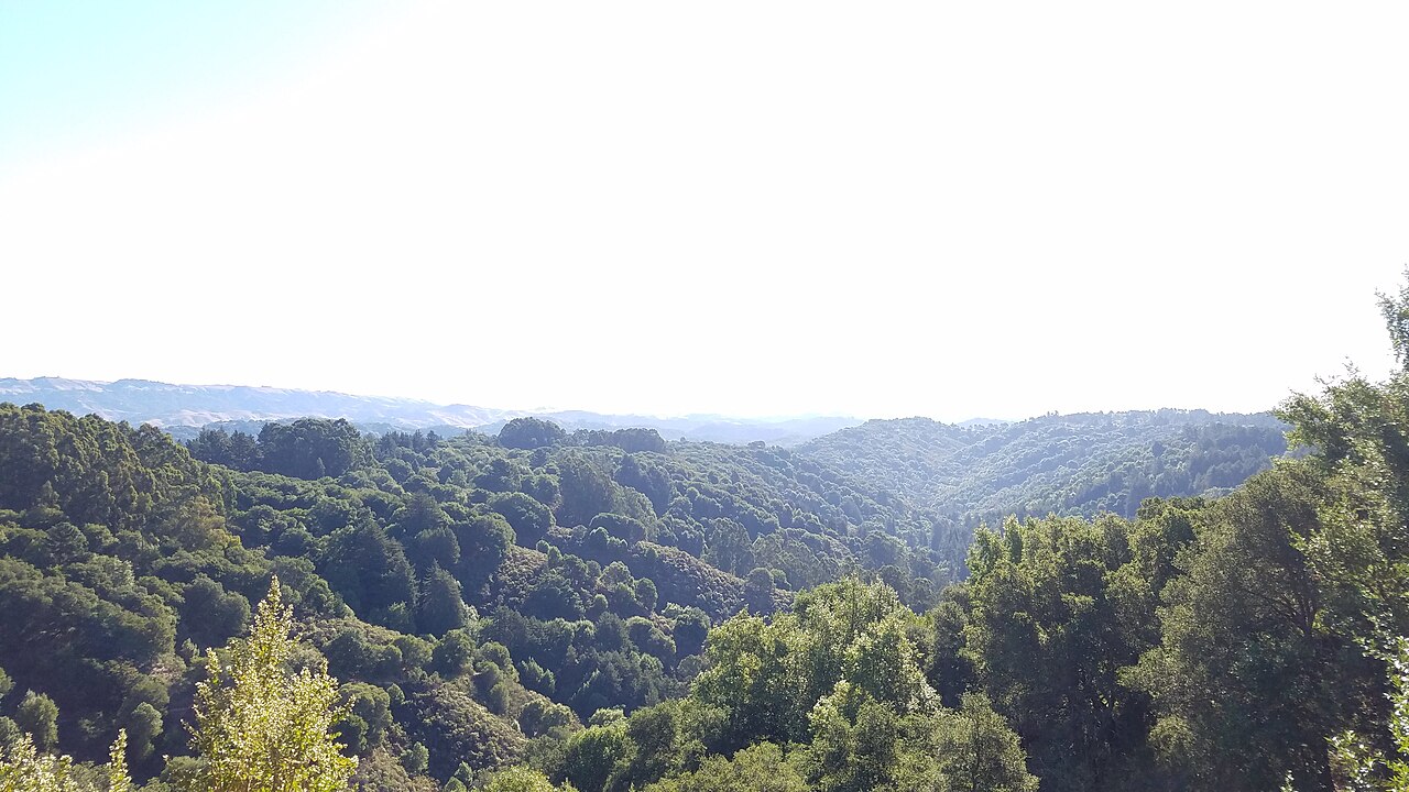
Roberts Regional Recreation Area
Oakland, Alameda County, CA
- Size
- 121 acres Source
- Swimming
- Pool reopens in 2027 Source
- Managed by
- East Bay Regional Park District
About Roberts Regional Recreation Area
An 87-acre redwood grove on Skyline Boulevard, popular for family and group picnics. Source
Early in 1979 Roberts became the first park in the two county Regional Park District to be "adopted" by a local industry. An ongoing partnership was formed with Kaiser Aluminum & Chemical Corporation, tapping the financial and human resources of the worldwide, Oakland based firm to assure the continued operation of this popular urban parkland.
Facilities
- Camping
- Drinking Water
- Picnic Area
- Playground
- Restrooms
- Volleyball
Facility details: OpenStreetMap
Roberts Regional Recreation Area at a glance
- PParking · 6: Chabot Space and Science Center Parking Garage
- WCRestrooms · 7
- WDrinking water · 6
- Named trails · 6
Outline: CPAD. Points and trail lines: OpenStreetMap contributors. Not for navigation.
Trails
| Trail | Mapped length | Elevation | Surface & uses |
|---|---|---|---|
| Graham Trail | 1 mi | 270 ft up & down1,219–1,510 ft | UnpavedBikesHorses |
| Roberts Ridge Trail | 0.3 mi | 93 ft up & down1,454–1,529 ft | No bikesUnpavedBikes |
| Redwood Peak Trail | 0.2 mi | 42 ft up & down1,529–1,605 ft | UnpavedNo bikesHorses |
| Dunn Trail | 0.2 mi | 38 ft up & down1,088–1,219 ft | UnpavedBikesHorses |
| Manzanita Loop Trail | 0.2 mi | 25 ft up & down1,400–1,419 ft | UnpavedNo bikes |
| West Ridge Trail | 0.2 mi | 14 ft up & down1,506–1,528 ft | UnpavedBikesHorsesNo dogs |
Trail names and mapped lengths come from OpenStreetMap; lengths count only the part inside the park boundary. Up-and-down totals (climbing plus descent, one way) and elevation ranges are estimates from USGS 3DEP elevation (about 15 m grid) sampled along the mapped line. Use the official guide map for the route and current closures.
Getting to Roberts Regional Recreation Area by bus
- Skyline Boulevard & Roberts Park · Routes 31 · at the park edge
- Chabot Space and Science Center · Routes 31 · at the park edge
- Skyline Boulevard & Joaquin Miller Road · Routes 31 · 1010 ft from the park
- Joaquin Miller Road & Skyline Boulevard · Routes 31, 604, 639, 646, 649, 650, 655, 658, 662, 396 · 1210 ft from the park
Bus stops within about a quarter mile of Roberts Regional Recreation Area, mapped in OpenStreetMap. Check the transit agency for schedules.
Rules & reservations
Official park page- Dogs
Dogs must be leashed in parking lots, picnic areas, lawns, and other developed areas, and may be off leash under control in undeveloped open space (district rules). Source
Gates open 8 a.m. and close 5–8 p.m. by season.
Map & directions
10570 Skyline Blvd, Oakland, CA 94619
Nearby parks
Straight-line distanceContinue exploring
Alameda County parks Parks in Oakland PlaygroundsSources & verification
Last verified: Oct 15, 2026- California Protected Areas Database (CPAD) 2026aname, county, agency, access, acres
- East Bay Regional Park District dog rulesdogs
- East Bay Regional Park District park pageofficial_url, hours, address, description, fees, swimming
- OpenStreetMap facilities and trailsfacilities.camping, facilities.drinking-water, facilities.picnic-area, facilities.playground, facilities.restrooms, facilities.volleyball, trails
- U.S. Census Bureau place boundaries (nearest place)city
- OpenStreetMap: parking, restrooms, water, trailheads, trail lines, and bus stopsvisit
- Terrain Tiles elevation (USGS 3DEP), sampled every 20 m along OpenStreetMap trail linestrails.elevation
- Official park page (introduction excerpt)intro