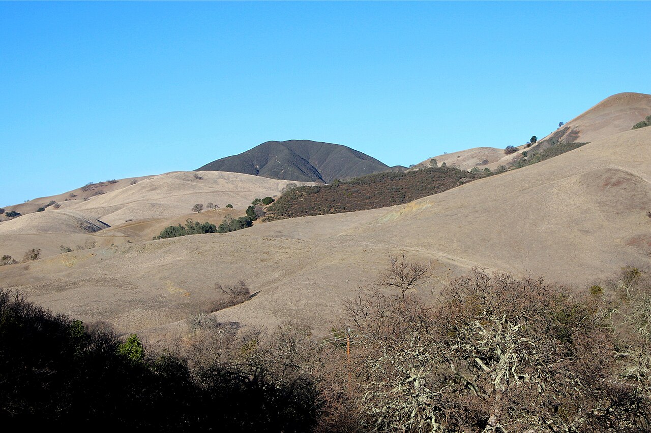
Diablo Foothills Regional Park
Walnut Creek, Contra Costa County, CA
- Size
- 950 acres Source
- Managed by
- East Bay Regional Park District
About Diablo Foothills Regional Park
Rock formations and Bay Area views at the gateway to Mount Diablo State Park. Source
Diablo Foothills is an imposing gateway to the beautiful parklands of Mt Diablo State Park and Walnut Creek Open Space. The Foothills 1,060 acres are valued for their striking geologic formations, their sweeping panoramas of the San Francisco Bay Region and the rural quality of the adjacent rolling grasslands.
Facilities
- Drinking Water
- Historic Site
- Picnic Area
- Restrooms
- Volleyball
Facility details: OpenStreetMap
Diablo Foothills Regional Park at a glance
- PParking · 3: Livorna Staging Area, Orchard Staging Area
- WCRestrooms · 5
- WDrinking water · 1
- Named trails · 12
Outline: CPAD. Points and trail lines: OpenStreetMap contributors. Not for navigation.
Trails
| Trail | Mapped length | Elevation | Surface & uses |
|---|---|---|---|
| Briones to Mt. Diablo Regional Trail | 1.3 mi | 444 ft up & down658–869 ft | UnpavedBikesHorses |
| Foothills Trail | 0.8 mi | 343 ft up & down532–675 ft | UnpavedBikesHorses |
| Shell Ridge Trail | 0.6 mi | 309 ft up & down538–857 ft | |
| Buckeye Ravine Trail | 0.6 mi | 433 ft up & down447–752 ft | Unpaved |
| North Gate Trail | 0.6 mi | 98 ft up & down284–375 ft | Unpaved |
| Fairy Lantern Trail | 0.5 mi | 217 ft up & down438–668 ft | BikesNo horsesNo bikes |
| Stage Road | 0.5 mi | 74 ft up & down376–476 ft | UnpavedBikesHorses |
| Shell Ridge Loop Trail | 0.4 mi | 202 ft up & down584–815 ft | |
| Borges Ranch Trail | 0.3 mi | 98 ft up & down609–704 ft | Unpaved |
| Sugarloaf-Shell Ridge Trail | 0.3 mi | 181 ft up & down435–592 ft | UnpavedBikesHorses |
| Stonegate Trail | 0.3 mi | 93 ft up & down642–744 ft | Unpaved |
| Shell Ridge Loop connector trail | 0.2 mi | 49 ft up & down693–745 ft | Unpaved |
Trail names and mapped lengths come from OpenStreetMap; lengths count only the part inside the park boundary. Up-and-down totals (climbing plus descent, one way) and elevation ranges are estimates from USGS 3DEP elevation (about 15 m grid) sampled along the mapped line. Use the official guide map for the route and current closures.
Rules & reservations
Official park page- Dogs
Dogs must be leashed in parking lots, picnic areas, lawns, and other developed areas, and may be off leash under control in undeveloped open space (district rules). Source
- Castle Rock Pool
The pool complex will reopen for the swim season in 2027. Source
Parking lot opens 7:30 a.m. and closes 7–9 p.m. by season.
Map & directions
1700 Castle Rock Road, Walnut Creek, CA 94598
Nearby parks
Straight-line distanceContinue exploring
Contra Costa County parksSources & verification
Last verified: Oct 15, 2026- California Protected Areas Database (CPAD) 2026aname, county, agency, access, acres
- East Bay Regional Park District dog rulesdogs
- East Bay Regional Park District park pageofficial_url, hours, address, description, fees
- OpenStreetMap facilities and trailsfacilities.drinking-water, facilities.historic-site, facilities.picnic-area, facilities.restrooms, facilities.volleyball, trails
- U.S. Census Bureau place boundaries (nearest place)city
- OpenStreetMap: parking, restrooms, water, trailheads, trail lines, and bus stopsvisit
- Terrain Tiles elevation (USGS 3DEP), sampled every 20 m along OpenStreetMap trail linestrails.elevation
- Official park page (introduction excerpt)intro