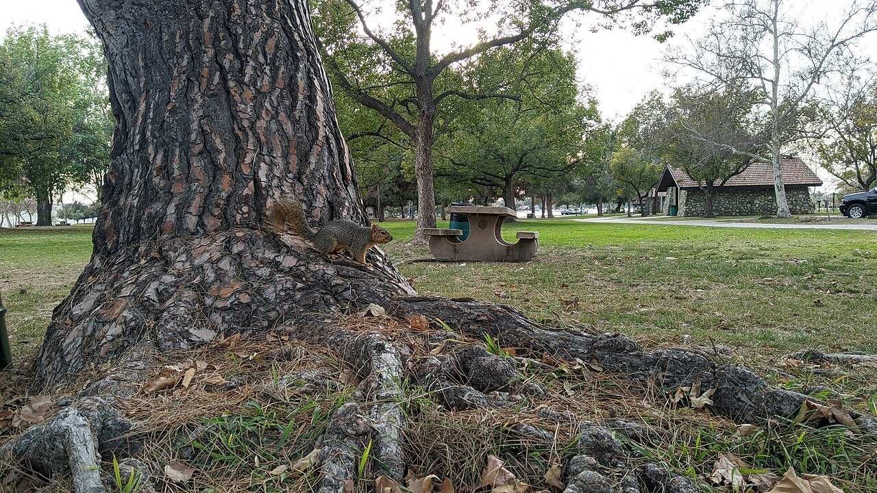
Santa Fe Dam Recreational Area
Irwindale, Los Angeles County, CA
- Size
- 912 acres Source
- Managed by
- Los Angeles County Parks and Recreation
Facilities
- Boat Launch
- Drinking Water
- Picnic Area
- Playground
- Restrooms
- Splash Pad
- BBQ Grills
- Camping
- Fishing
- Model Airfield
- Swimming
- Volleyball
Facility details: official park information, OpenStreetMap
Santa Fe Dam Recreational Area at a glance
- PParking · 9: Parking Lot 3, Parking Lot 1, Parking Lot 2, Parking Lot 4
- WCRestrooms · 2
- WDrinking water · 2
- Named trails · 1
Outline: CPAD. Points and trail lines: OpenStreetMap contributors. Not for navigation.
Trails
| Trail | Mapped length | Elevation | Surface & uses |
|---|---|---|---|
| San Gabriel River Bike Path | 3.1 mi | 94 ft up & down502–583 ft | PavedBikes |
Trail names and mapped lengths come from OpenStreetMap; lengths count only the part inside the park boundary. Up-and-down totals (climbing plus descent, one way) and elevation ranges are estimates from USGS 3DEP elevation (about 15 m grid) sampled along the mapped line. Use the official guide map for the route and current closures.
Getting to Santa Fe Dam Recreational Area by bus
- Foothill Transit 492 · at the park edge
- Foothill Transit 185 · 730 ft from the park
- Encanto Parkway and Avila Gardens Residence · 770 ft from the park
- Baldwin Park Transit · 1260 ft from the park
Bus stops within about a quarter mile of Santa Fe Dam Recreational Area, mapped in OpenStreetMap. Check the transit agency for schedules.
Rules & reservations
Official park page- Dogs
County code allows dogs in county parks on a leash no longer than 6 feet and under full control; dogs may be off leash only in designated off-leash areas. Posted park rules may add restrictions. Source
March 1 to October 31. November 1 to February 28: Wed–Sun, 6 a.m. to 6 p.m. Regional parks are closed Mondays and Tuesdays.
Map & directions
15501 E. Arrow Highway, Baldwin Park, Ca 91706
Nearby parks
Straight-line distanceContinue exploring
Los Angeles County parks Playgrounds Splash PadsSources & verification
Last verified: Oct 15, 2026- California Protected Areas Database (CPAD) 2026aname, county, agency, access, acres
- LA County Parks park page (hours and description re-read in a browser)hours, hours_note
- LA County Parks park page (read in a browser)official_url, address, facilities.playground, facilities.picnic-area, facilities.restrooms, facilities.splash-pad, facilities.bbq-grills, facilities.boat-launch, facilities.camping, facilities.fishing, facilities.model-airfield, facilities.swimming, facilities.volleyball
- LA County Parks fee schedule (vehicle entrance)fees
- Los Angeles County Code 17.04.410 (dogs in parks)dogs
- OpenStreetMap facilities and trailsfacilities.drinking-water, trails
- U.S. Census Bureau place boundariescity
- OpenStreetMap: parking, restrooms, water, trailheads, trail lines, and bus stopsvisit
- Terrain Tiles elevation (USGS 3DEP), sampled every 20 m along OpenStreetMap trail linestrails.elevation