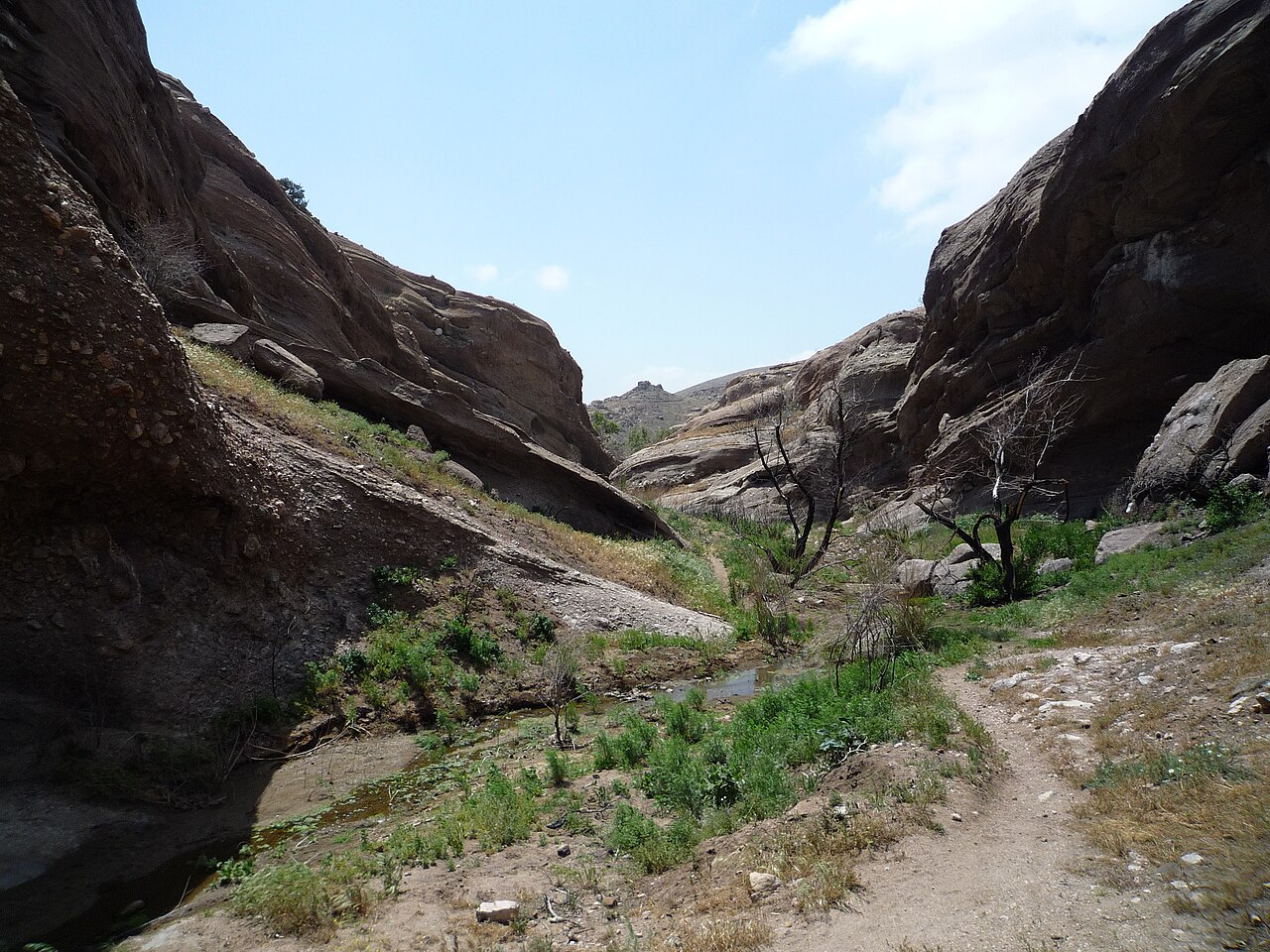
Vasquez Rocks Natural Area and Nature Center
Santa Clarita, Los Angeles County, CA
- Size
- 945 acres Source
- Managed by
- Los Angeles County Parks and Recreation
About Vasquez Rocks Natural Area and Nature Center
Please Note: There is a water fountain available in the Vasquez Rocks Interpretive Center during business hours only. Source
Vasquez Rocks Natural Area, the ancestral Tataviam village of Mapipinga is located in the small town of Agua Dulce. This 945-acre park features iconic geology, protected habitat for native flora and fauna, and fascinating cultural history. The park has been used in many hit movies, television shows and commercials.
Facilities
- Picnic Area
Facility details: official park information
Vasquez Rocks Natural Area and Nature Center at a glance
- PParking · 1
- Named trails · 3
Outline: CPAD. Points and trail lines: OpenStreetMap contributors. Not for navigation.
Trails
| Trail | Mapped length | Elevation | Surface & uses |
|---|---|---|---|
| Pacific Crest Trail | 2.1 mi | 738 ft up & down2,306–2,615 ft | No bikesHorses |
| Tokupar Ridgetop Trail | 0.7 mi | 292 ft up & down2,619–2,812 ft | |
| Homestead Trail | 0.4 mi | 133 ft up & down2,492–2,616 ft |
Trail names and mapped lengths come from OpenStreetMap; lengths count only the part inside the park boundary. Up-and-down totals (climbing plus descent, one way) and elevation ranges are estimates from USGS 3DEP elevation (about 15 m grid) sampled along the mapped line. Use the official guide map for the route and current closures.
Rules & reservations
Official park page- Dogs
County code allows dogs in county parks on a leash no longer than 6 feet and under full control; dogs may be off leash only in designated off-leash areas. Posted park rules may add restrictions. Source
- Fees
The county fee schedule lists daily vehicle entrance fees only for Bonelli, Castaic Lake, Kenneth Hahn, Santa Fe Dam, Schabarum, and Whittier Narrows; it lists none for this park. Check with LA County Parks before you go. Source
March 1 to October 31. November 1 to February 28: Tue–Sun, 8 a.m. to 5 p.m. Closed Monday.
Map & directions
10700 W. Escondido Canyon Rd., Santa Clarita, CA 91390
Nearby parks
Straight-line distanceContinue exploring
Los Angeles County parksSources & verification
Last verified: Oct 15, 2026- California Protected Areas Database (CPAD) 2026aname, county, agency, access, acres
- LA County Parks park page (hours and description re-read in a browser)hours, hours_note, description
- LA County Parks park page (read in a browser)official_url, address, facilities.picnic-area
- LA County Parks fee schedule (vehicle entrance)unstated.fees
- Los Angeles County Code 17.04.410 (dogs in parks)dogs
- OpenStreetMap facilities and trailstrails
- OpenStreetMap: parking, restrooms, water, trailheads, trail lines, and bus stopsvisit
- Terrain Tiles elevation (USGS 3DEP), sampled every 20 m along OpenStreetMap trail linestrails.elevation
- Official park page (introduction excerpt)intro