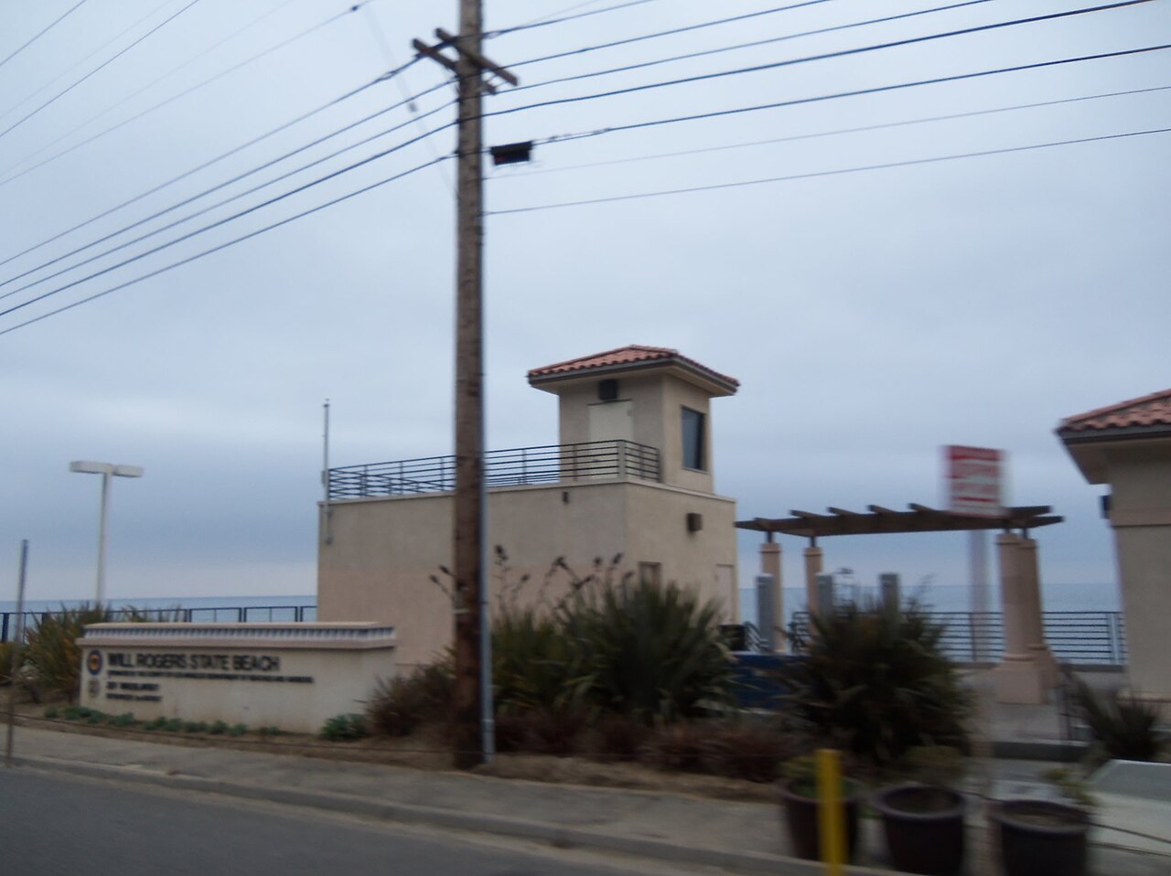
Will Rogers State Beach
Los Angeles, Los Angeles County, CA
- Size
- 91 acres Source
- Swimming
- Lifeguards in daylight hours Source
- Managed by
- LA County Beaches and Harbors
About Will Rogers State Beach
A Pacific Palisades beach that is usually less crowded than its Malibu and Santa Monica neighbors. Source
During the 1920’s Will Rogers bought land in Santa Monica, where he developed a ranch. Eventually he owned more than 300 acres overlooking the Pacific Ocean, in what is now known as Pacific Palisades. The ranch became the place where Rogers could relax with friends and family. The Rogers’ ranch consisted of a 31-room ranch house, a stable, corrals, riding ring, roping arena, polo field, golf course, and hiking trails.
Facilities
- Drinking Water
- Historic Site
- Pickleball Courts
- Picnic Area
- Restrooms
- Volleyball
- Fishing
- Swimming
- Playground
Facility details: OpenStreetMap, official park information
Will Rogers State Beach at a glance
- PParking · 5: Will Rogers State Beach Parking Lot #3, Will Rogers State Beach Parking Lot #3N, Will Rogers State Beach Parking Lot #4, Will Rogers State Beach Parking Lot #1 (104 spaces)
- WCRestrooms · 5
- WDrinking water · 3
- Named trails · 2
Outline: CPAD. Points and trail lines: OpenStreetMap contributors. Not for navigation.
Trails
| Trail | Mapped length | Elevation | Surface & uses |
|---|---|---|---|
| Marvin's Beach Bike Path | 1.2 mi | 33 ft up & down7–19 ft | PavedBikes |
| Marvin Braude Bikeway | 0.1 mi | 2 ft up & down12–15 ft | Paved |
Trail names and mapped lengths come from OpenStreetMap; lengths count only the part inside the park boundary. Up-and-down totals (climbing plus descent, one way) and elevation ranges are estimates from USGS 3DEP elevation (about 15 m grid) sampled along the mapped line. Use the official guide map for the route and current closures.
Getting to Will Rogers State Beach by bus
- Pacific Coast Highway & Driftwood · at the park edge
- Pacific Coast Highway & Temescal Canyon · at the park edge
- Entrada & Pacific Coast Highway · at the park edge
- Pacific Coast Highway & Sunset · 130 ft from the park
Bus stops within about a quarter mile of Will Rogers State Beach, mapped in OpenStreetMap. Check the transit agency for schedules.
Rules & reservations
Official park page- Dogs
County beach rules do not allow animals on the beach, including dogs, cats, and horses. Source
Map & directions
17700 Pacific Coast Highway, Pacific Palisades, CA 90272
Nearby parks
Straight-line distanceContinue exploring
Los Angeles County parks Parks in Los Angeles Playgrounds Pickleball CourtsSources & verification
Last verified: Oct 16, 2026- California Protected Areas Database (CPAD) 2026aname, county, agency, access, acres
- LA County Beaches and Harbors pageofficial_url, address, description, swimming, alerts, facilities.fishing, facilities.swimming, facilities.volleyball, facilities.picnic-area, facilities.playground, facilities.restrooms
- LA County Beaches and Harbors parking rates (Oct 6, 2026)fees
- LA County beach rulesdogs
- OpenStreetMap facilities and trailsfacilities.drinking-water, facilities.historic-site, facilities.pickleball-court, trails
- U.S. Census Bureau place boundariescity
- OpenStreetMap: parking, restrooms, water, trailheads, trail lines, and bus stopsvisit
- Terrain Tiles elevation (USGS 3DEP), sampled every 20 m along OpenStreetMap trail linestrails.elevation
- Official park page (introduction excerpt)intro