Sam McDonald Park
La Honda, San Mateo County, CA
- Size
- 795 acres Source
- Managed by
- San Mateo County Parks
About Sam McDonald Park
An 850-acre park about 3 miles west of La Honda on Pescadero Road. Source
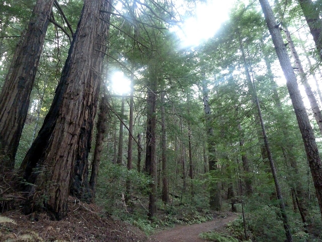
Sam McDonald, a unique and interesting 850-acre facility, is located approximately 3 miles west of La Honda on Pescadero Road. The park actually represents contrast between two separate natural environments. The northwesterly half, near 400 acres between Pescadero Creek Road and Highway 84, is principally a lush growth redwood forest. The 450-acre portion, southeasterly , is primarily open ridge, grassy knolls and patchy brush areas.
Facilities
- Drinking Water
- Picnic Area
- Restrooms
Facility details: OpenStreetMap
Sam McDonald Park at a glance
- PParking · 2
- WCRestrooms · 1
- WDrinking water · 1
- Named trails · 12
Outline: CPAD. Points and trail lines: OpenStreetMap contributors. Not for navigation.
Trails
| Trail | Mapped length | Elevation | Surface & uses |
|---|---|---|---|
| Heritage Grove Trail | 2.5 mi | 1,207 ft up & down560–1,106 ft | No bikesNo horsesUnpaved |
| Ridge Fire Road | 1.3 mi | 583 ft up & down914–1,135 ft | No bikesHorses |
| Towne Fire Road | 1 mi | 490 ft up & down660–1,141 ft | No bikesHorses |
| Old Stage Road | 1 mi | 750 ft up & down316–1,011 ft | UnpavedNo bikesHorses |
| Uncle Man Road | 1 mi | 648 ft up & down351–719 ft | UnpavedNo bikesHorses |
| Forest Loop Trail | 1 mi | 520 ft up & down670–940 ft | UnpavedNo bikesNo horses |
| Big Tree Trail | 0.5 mi | 328 ft up & down663–919 ft | No bikesNo horses |
| Youth Camp Trail | 0.4 mi | 169 ft up & down557–693 ft | UnpavedNo bikesHorses |
| Chinock Trail | 0.3 mi | 71 ft up & down636–734 ft | UnpavedNo bikesHorses |
| West Brook Trail | 0.2 mi | 47 ft up & down1,028–1,088 ft | No bikesHorses |
| East Brook Trail | 0.2 mi | 61 ft up & down1,035–1,118 ft | No bikesNo horses |
| Towne Fire Road;Big Tree Trail | 0.1 mi | 46 ft up & down832–890 ft | No bikesHorses |
Trail names and mapped lengths come from OpenStreetMap; lengths count only the part inside the park boundary. Up-and-down totals (climbing plus descent, one way) and elevation ranges are estimates from USGS 3DEP elevation (about 15 m grid) sampled along the mapped line. Use the official guide map for the route and current closures.
Rules & reservations
Official park pageMap & directions
13435 Pescadero Creek Rd. Loma Mar, CA 94021
37.300105, -122.270178Get directions
Nearby parks
Straight-line distanceMemorial ParkLoma Mar · 2.2 mi · Camping, Drinking WaterPescadero Creek ParkLoma Mar · 2.8 mi · Camping, Drinking WaterLa Honda Creek Open Space PreserveLa Honda · 3.5 mi · RestroomsRussian Ridge Open Space PreservePortola Valley · 3.6 mi · RestroomsCoal Creek Open Space PreservePortola Valley · 4.3 mi
Continue exploring
San Mateo County parksSources & verification
Last verified: Oct 15, 2026- California Protected Areas Database (CPAD) 2026aname, county, agency, access, acres
- Dogs at San Mateo County Parksdogs
- San Mateo County Parks park pageofficial_url, address, description, fees
- Park hours pagehours
- San Mateo County Parks fees and chargesfees
- OpenStreetMap facilities and trailsfacilities.drinking-water, facilities.picnic-area, facilities.restrooms, trails
- U.S. Census Bureau place boundaries (nearest place)city
- OpenStreetMap: parking, restrooms, water, trailheads, trail lines, and bus stopsvisit
- Terrain Tiles elevation (USGS 3DEP), sampled every 20 m along OpenStreetMap trail linestrails.elevation
- Official park page (introduction excerpt)intro