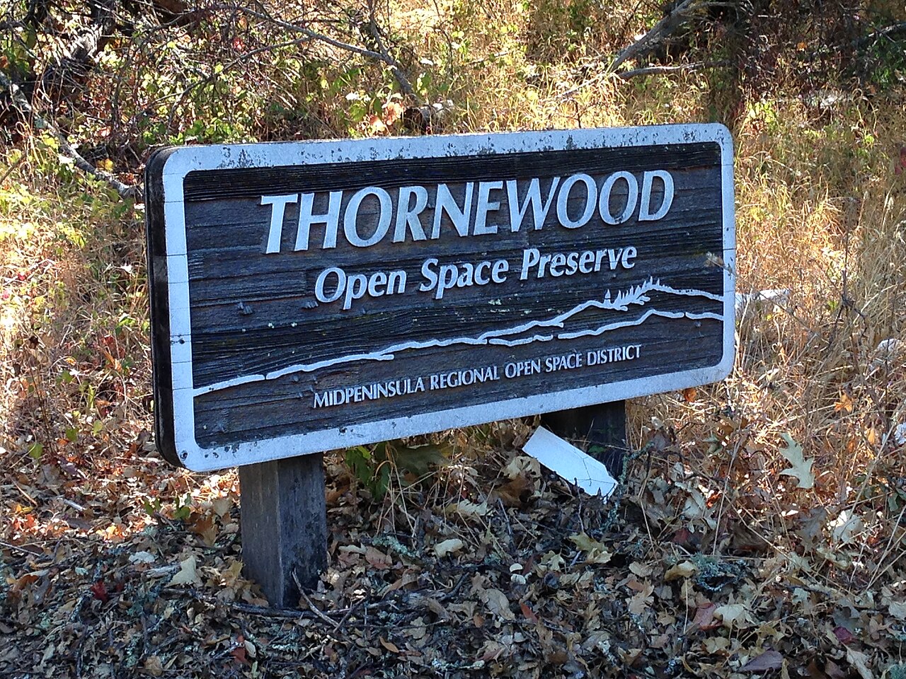
Thornewood Open Space Preserve
Woodside, San Mateo County, CA
- Size
- 148 acres Source
About Thornewood Open Space Preserve
A 167-acre preserve above Woodside with easy hikes and horseback rides. Source
Conveniently located in the hills above the Town of Woodside and ideally situated for a quick morning or afternoon getaway, Thornewood is a 167-acre preserve offering nice, easy hikes or horseback rides through beautiful surroundings.
Facilities
- Tennis Courts
- RestroomsNot available
Facility details: OpenStreetMap, official park information
Sunrise & sunset
Thornewood Open Space Preserve hours follow the sun (Sunrise to sunset ±30 min). Mid-month times for this location:
| Month | Sunrise | Sunset |
|---|---|---|
| Jan | 7:22 a.m. | 5:13 p.m. |
| Feb | 6:59 a.m. | 5:47 p.m. |
| Mar | 7:21 a.m. | 7:15 p.m. |
| Apr | 6:35 a.m. | 7:42 p.m. |
| May | 6:00 a.m. | 8:09 p.m. |
| Jun | 5:47 a.m. | 8:30 p.m. |
| Jul | 5:59 a.m. | 8:30 p.m. |
| Aug | 6:24 a.m. | 8:03 p.m. |
| Sep | 6:49 a.m. | 7:18 p.m. |
| Oct | 7:15 a.m. | 6:33 p.m. |
| Nov | 6:47 a.m. | 4:59 p.m. |
| Dec | 7:15 a.m. | 4:52 p.m. |
Calculated from the park's coordinates (NOAA solar equations), Pacific time.
Thornewood Open Space Preserve at a glance
- PParking · 1
- Named trails · 2
Outline: CPAD. Points and trail lines: OpenStreetMap contributors. Not for navigation.
Trails
| Trail | Mapped length | Elevation | Surface & uses |
|---|---|---|---|
| Schilling Lake Trail | 0.7 mi | 179 ft up & down878–971 ft | HorsesUnpavedNo bikes |
| Bridle Trail | 0.7 mi | 364 ft up & down531–902 ft | Horses |
Trail names and mapped lengths come from OpenStreetMap; lengths count only the part inside the park boundary. Up-and-down totals (climbing plus descent, one way) and elevation ranges are estimates from USGS 3DEP elevation (about 15 m grid) sampled along the mapped line. Use the official guide map for the route and current closures.
Rules & reservations
Official park page- Dogs
Leash 6 feet or shorter; dogs are not allowed in any Midpen water areas (district rules). Source
Open a half-hour before sunrise until a half-hour after sunset.
Map & directions
Nearby parks
Straight-line distanceContinue exploring
San Mateo County parks Parks in Woodside Tennis CourtsSources & verification
Last verified: Oct 15, 2026- California Protected Areas Database (CPAD) 2026aname, county, agency, access, acres
- Midpen preserve pageofficial_url, hours, hours_note, dogs, facilities.restrooms, description
- Midpen visitor FAQ (no entry or parking fees)fees
- Midpen dog access rulesdogs
- OpenStreetMap facilities and trailsfacilities.tennis-court, trails
- U.S. Census Bureau place boundariescity
- OpenStreetMap: parking, restrooms, water, trailheads, trail lines, and bus stopsvisit
- Terrain Tiles elevation (USGS 3DEP), sampled every 20 m along OpenStreetMap trail linestrails.elevation
- Official park page (introduction excerpt)intro