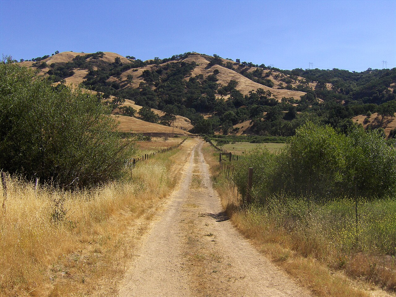
Joseph D. Grant County Park
San Jose, Santa Clara County, CA
- Size
- 10,882 acres Source
- Managed by
- Santa Clara County Parks
About Joseph D. Grant County Park
Oak woodland, grasslands, lakes, camping, and a large trail network in Halls Valley. Source
Facilities
- Picnic Area
- Camping
- Fishing
- Historic Site
Facility details: official park information
Sunrise & sunset
Joseph D. Grant County Park hours follow the sun (8 a.m. to sunset). Mid-month times for this location:
| Month | Sunrise | Sunset |
|---|---|---|
| Jan | 7:19 a.m. | 5:11 p.m. |
| Feb | 6:57 a.m. | 5:44 p.m. |
| Mar | 7:19 a.m. | 7:13 p.m. |
| Apr | 6:33 a.m. | 7:40 p.m. |
| May | 5:58 a.m. | 8:07 p.m. |
| Jun | 5:45 a.m. | 8:28 p.m. |
| Jul | 5:57 a.m. | 8:27 p.m. |
| Aug | 6:22 a.m. | 8:00 p.m. |
| Sep | 6:47 a.m. | 7:16 p.m. |
| Oct | 7:13 a.m. | 6:31 p.m. |
| Nov | 6:45 a.m. | 4:57 p.m. |
| Dec | 7:13 a.m. | 4:50 p.m. |
Calculated from the park's coordinates (NOAA solar equations), Pacific time.
Joseph D. Grant County Park at a glance
- PParking · 8: Twin Gates Trailhead
- WCRestrooms · 6
- WDrinking water · 3
- iVisitor center · 1: Ranger Station
- Named trails · 2
Outline: CPAD. Points and trail lines: OpenStreetMap contributors. Not for navigation.
Trails
| Trail | Elevation | Surface & uses | Use |
|---|---|---|---|
| Hotel Trail | 1,186 ft up & down1,411–2,088 ft | UnpavedBikes | Walking |
| Snell Trail | 208 ft up & down1,494–1,575 ft | Walking |
Names and any listed lengths come from the linked source. Up-and-down totals (climbing plus descent, one way) and elevation ranges are estimates from USGS 3DEP elevation (about 15 m grid) sampled along the mapped line. Use the official guide map for the route and current closures.
Activities
- Camping
- Reservable family and group campsites.
- Hiking
- The official park page describes a 51-mile trail system.
Rules & reservations
Official park page- Dogs
Dogs on a six-foot leash are allowed on trails, picnic areas, and campgrounds. Source
- Campfires
Use designated fire rings only and follow posted restrictions; collecting firewood is prohibited. Source
Map & directions
18405 Mt. Hamilton Road, San Jose, CA 95140
Nearby parks
Straight-line distanceContinue exploring
Santa Clara County parks Parks in San JoseSources & verification
Last verified: Oct 14, 2026- Official park informationname, county, city, agency, access, acres, hours, dogs, facilities, trails, activities, rules, address, reservations_url, description
- Official vehicle fee schedulefees.parking
- OpenStreetMap address locationcentroid
- OpenStreetMap: parking, restrooms, water, trailheads, trail lines, and bus stopsvisit
- Terrain Tiles elevation (USGS 3DEP), sampled every 20 m along OpenStreetMap trail linestrails.elevation