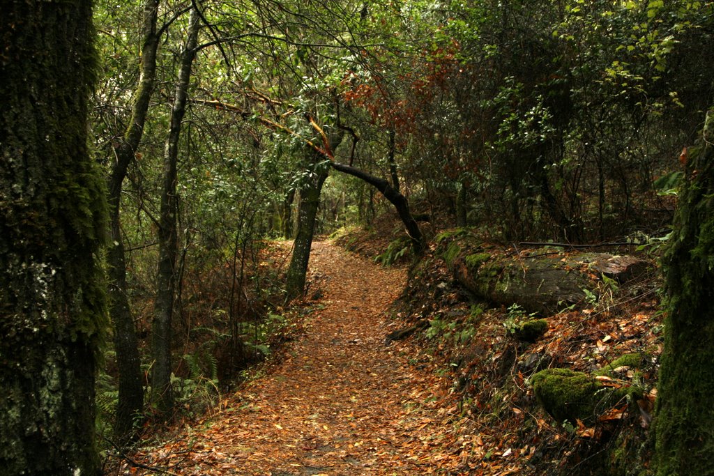
Los Trancos Open Space Preserve
Palo Alto, Santa Clara County, CA
- Size
- 277 acres Source
About Los Trancos Open Space Preserve
A 274-acre preserve above Palo Alto split by the San Andreas Fault, a good place to learn earthquake geology. Source
Los Trancos Open Space Preserve is a 274-acre area located in the Santa Cruz Mountains above Palo Alto. This is an ideal spot to learn about earthquake geology. The San Andreas Fault, one of the world's longest and most active faults, splits the preserve.
Facilities
- Drinking Water
- RestroomsNot available
Facility details: OpenStreetMap, official park information
Sunrise & sunset
Los Trancos Open Space Preserve hours follow the sun (Sunrise to sunset ±30 min). Mid-month times for this location:
| Month | Sunrise | Sunset |
|---|---|---|
| Jan | 7:21 a.m. | 5:12 p.m. |
| Feb | 6:59 a.m. | 5:46 p.m. |
| Mar | 7:21 a.m. | 7:15 p.m. |
| Apr | 6:35 a.m. | 7:42 p.m. |
| May | 6:00 a.m. | 8:09 p.m. |
| Jun | 5:47 a.m. | 8:30 p.m. |
| Jul | 5:59 a.m. | 8:29 p.m. |
| Aug | 6:24 a.m. | 8:02 p.m. |
| Sep | 6:49 a.m. | 7:18 p.m. |
| Oct | 7:15 a.m. | 6:33 p.m. |
| Nov | 6:47 a.m. | 4:59 p.m. |
| Dec | 7:15 a.m. | 4:52 p.m. |
Calculated from the park's coordinates (NOAA solar equations), Pacific time.
Los Trancos Open Space Preserve at a glance
- PParking · 1: Los Trancos Parking Lot
- WDrinking water · 1
- Named trails · 4
Outline: CPAD. Points and trail lines: OpenStreetMap contributors. Not for navigation.
Trails
| Trail | Mapped length | Elevation | Surface & uses |
|---|---|---|---|
| Page Mill Trail | 2.8 mi | 635 ft up & down1,767–2,136 ft | UnpavedNo bikesHorses |
| Franciscan Loop Trail | 1.5 mi | 517 ft up & down1,939–2,233 ft | No bikes |
| Lost Creek Loop Trail | 0.7 mi | 276 ft up & down1,810–1,995 ft | No bikesUnpaved |
| San Andreas Fault Trail | 0.6 mi | 179 ft up & down2,016–2,116 ft | No bikes |
Trail names and mapped lengths come from OpenStreetMap; lengths count only the part inside the park boundary. Up-and-down totals (climbing plus descent, one way) and elevation ranges are estimates from USGS 3DEP elevation (about 15 m grid) sampled along the mapped line. Use the official guide map for the route and current closures.
Rules & reservations
Official park pageOpen a half-hour before sunrise until a half-hour after sunset.
Map & directions
Nearby parks
Straight-line distanceContinue exploring
Santa Clara County parks Parks in Palo AltoSources & verification
Last verified: Oct 15, 2026- California Protected Areas Database (CPAD) 2026aname, county, agency, access, acres
- Midpen preserve pageofficial_url, hours, hours_note, dogs, facilities.restrooms, description
- Midpen visitor FAQ (no entry or parking fees)fees
- OpenStreetMap facilities and trailsfacilities.drinking-water, trails
- U.S. Census Bureau place boundariescity
- OpenStreetMap: parking, restrooms, water, trailheads, trail lines, and bus stopsvisit
- Terrain Tiles elevation (USGS 3DEP), sampled every 20 m along OpenStreetMap trail linestrails.elevation
- Official park page (introduction excerpt)intro