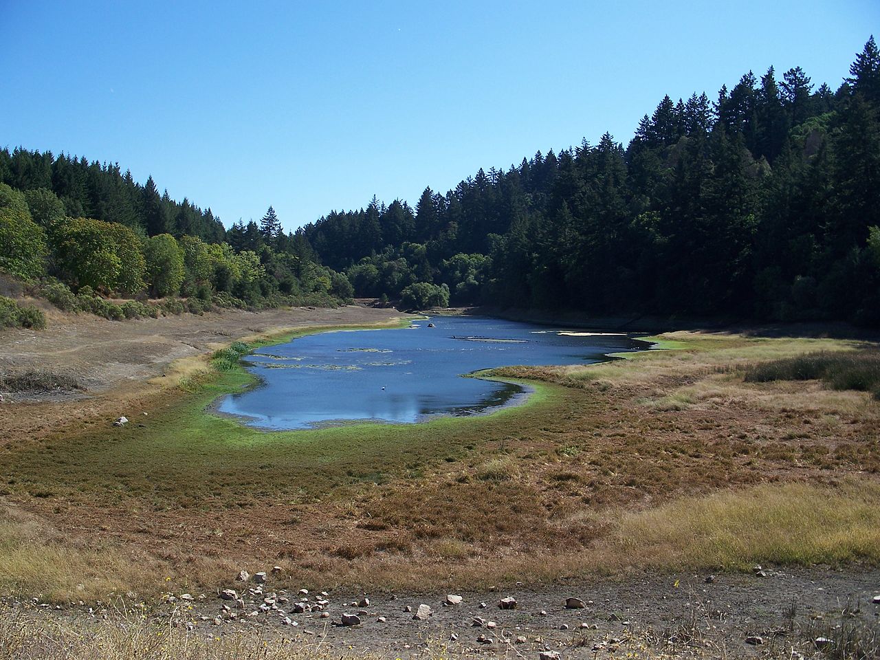
Sanborn County Park
Saratoga, Santa Clara County, CA
- Size
- 3,452 acres Source
- Managed by
- Santa Clara County Parks
About Sanborn County Park
A 3,453-acre Santa Cruz Mountains park of redwoods and tanbark oaks between Saratoga and Skyline Boulevard. Source
Facilities
- Camping
- Drinking Water
- Historic Site
- Picnic Area
- Restrooms
- Horseshoes
- Volleyball
Facility details: official park information, OpenStreetMap
Sunrise & sunset
Sanborn County Park hours follow the sun (8 a.m. to sunset). Mid-month times for this location:
| Month | Sunrise | Sunset |
|---|---|---|
| Jan | 7:21 a.m. | 5:12 p.m. |
| Feb | 6:58 a.m. | 5:46 p.m. |
| Mar | 7:21 a.m. | 7:14 p.m. |
| Apr | 6:35 a.m. | 7:41 p.m. |
| May | 6:00 a.m. | 8:08 p.m. |
| Jun | 5:47 a.m. | 8:29 p.m. |
| Jul | 5:59 a.m. | 8:29 p.m. |
| Aug | 6:24 a.m. | 8:02 p.m. |
| Sep | 6:49 a.m. | 7:18 p.m. |
| Oct | 7:14 a.m. | 6:32 p.m. |
| Nov | 6:46 a.m. | 4:59 p.m. |
| Dec | 7:14 a.m. | 4:52 p.m. |
Calculated from the park's coordinates (NOAA solar equations), Pacific time.
Sanborn County Park at a glance
- PParking · 11: Indian Rock parking, Sunnyvale Mountain
- WCRestrooms · 6
- WDrinking water · 1
- iVisitor center · 1: Visitor Center
- Named trails · 12
Outline: CPAD. Points and trail lines: OpenStreetMap contributors. Not for navigation.
Trails
| Trail | Mapped length | Elevation | Surface & uses |
|---|---|---|---|
| John Nicholas Trail | 5.2 mi | 1,422 ft up & down1,789–2,914 ft | UnpavedBikesHorses |
| Skyline Trail | 4.1 mi | 1,381 ft up & down2,766–3,089 ft | UnpavedBikesHorsesPaved |
| Sanborn Trail | 2.7 mi | 1,592 ft up & down1,333–2,873 ft | No bikesHorsesUnpavedNo horsesPavedBikes |
| PG&E Road | 1.7 mi | 649 ft up & down1,579–2,003 ft | UnpavedNo dogsNo bikesNo horses |
| Summit Rock Loop Trail | 1.3 mi | 746 ft up & down2,578–2,976 ft | BikesHorsesUnpaved |
| Vernon J. Pick Trail | 1.1 mi | 596 ft up & down1,372–2,008 ft | No bikesHorsesNo horsesPaved |
| Lower Madrone Trail | 0.8 mi | 529 ft up & down1,457–2,008 ft | UnpavedNo bikesHorses |
| Peterson Trail | 0.6 mi | 459 ft up & down1,333–1,830 ft | No bikesHorses |
| San Andreas Trail | 0.6 mi | 130 ft up & down1,400–1,488 ft | No bikesHorsesPaved |
| Upper Madrone Trail | 0.6 mi | 463 ft up & down2,008–2,509 ft | UnpavedNo bikesHorses |
| Ambrose Road | 0.5 mi | 64 ft up & down1,546–1,629 ft | |
| Lake Ranch Trail | 0.5 mi | 158 ft up & down1,649–1,829 ft | BikesHorses |
Trail names and mapped lengths come from OpenStreetMap; lengths count only the part inside the park boundary. Up-and-down totals (climbing plus descent, one way) and elevation ranges are estimates from USGS 3DEP elevation (about 15 m grid) sampled along the mapped line. Use the official guide map for the route and current closures.
Rules & reservations
Official park page- Dogs
The park lists dogs (on-leash) among its activities. Source
Map & directions
16055 Sanborn Road, Saratoga, CA 95070
Nearby parks
Straight-line distanceContinue exploring
Santa Clara County parksSources & verification
Last verified: Oct 15, 2026- California Protected Areas Database (CPAD) 2026aname, county, agency, access, acres
- Santa Clara County Parks park page (read in a browser)official_url, hours, dogs, address, description, facilities.picnic-area, facilities.camping, facilities.horseshoes, facilities.volleyball, fees
- Santa Clara County Parks vehicle entrance feesfees
- OpenStreetMap facilities and trailsfacilities.drinking-water, facilities.historic-site, facilities.restrooms, trails
- U.S. Census Bureau place boundaries (nearest place)city
- OpenStreetMap: parking, restrooms, water, trailheads, trail lines, and bus stopsvisit
- Terrain Tiles elevation (USGS 3DEP), sampled every 20 m along OpenStreetMap trail linestrails.elevation