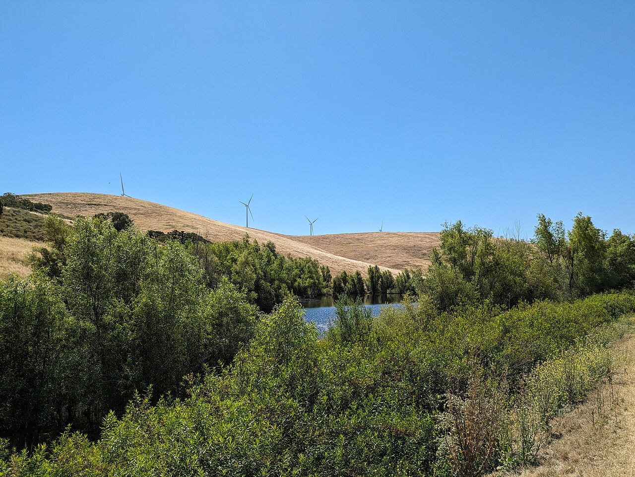
Brushy Peak Regional Preserve
Livermore, Alameda County, CA
- Size
- 1,768 acres Source
- Managed by
- East Bay Regional Park District
About Brushy Peak Regional Preserve
A 1,979-acre preserve north of Livermore. Source
Visitors desiring to access the top of Brushy Peak and the northern part of the preserve should contact LARPD directly at (925) 373-5700 for information on guided tours.
Facilities
- Drinking Water
- Restrooms
Facility details: OpenStreetMap
Brushy Peak Regional Preserve at a glance
- PParking · 1: Laughlin Ranch Staging Area
- WCRestrooms · 1
- WDrinking water · 1
- Named trails · 5
Outline: CPAD. Points and trail lines: OpenStreetMap contributors. Not for navigation.
Trails
| Trail | Mapped length | Elevation | Surface & uses |
|---|---|---|---|
| Brushy Peak Loop Trail | 3.4 mi | 403 ft up & down629–1,076 ft | UnpavedBikesHorses |
| West Side Loop Trail | 2.1 mi | 620 ft up & down617–1,029 ft | UnpavedBikesHorses |
| Laughlin Loop Trail | 2.1 mi | 782 ft up & down635–1,054 ft | UnpavedBikesHorses |
| Dyer Ranch Trail | 1.1 mi | 300 ft up & down598–902 ft | UnpavedBikesHorses |
| Tamcan Trail | 0.9 mi | 387 ft up & down727–965 ft | UnpavedBikesHorses |
Trail names and mapped lengths come from OpenStreetMap; lengths count only the part inside the park boundary. Up-and-down totals (climbing plus descent, one way) and elevation ranges are estimates from USGS 3DEP elevation (about 15 m grid) sampled along the mapped line. Use the official guide map for the route and current closures.
Rules & reservations
Official park page- Dogs
Dogs must be leashed in parking lots, picnic areas, lawns, and other developed areas, and may be off leash under control in undeveloped open space (district rules). Source
- Drinking water
No drinking water is available in the preserve; bring your own. Source
Gate hours change through the year; check the posted schedule.
Map & directions
North end of Laughlin Road, Livermore, CA
Nearby parks
Straight-line distanceContinue exploring
Alameda County parks Parks in LivermoreSources & verification
Last verified: Oct 15, 2026- California Protected Areas Database (CPAD) 2026aname, county, agency, access, acres
- East Bay Regional Park District dog rulesdogs
- East Bay Regional Park District park pageofficial_url, hours, address, description, fees
- OpenStreetMap facilities and trailsfacilities.drinking-water, facilities.restrooms, trails
- U.S. Census Bureau place boundaries (nearest place)city
- OpenStreetMap: parking, restrooms, water, trailheads, trail lines, and bus stopsvisit
- Terrain Tiles elevation (USGS 3DEP), sampled every 20 m along OpenStreetMap trail linestrails.elevation
- Official park page (introduction excerpt)intro