Hagemann Park
Livermore, Alameda County, CA
- Size
- 8 acres Source
About Hagemann Park
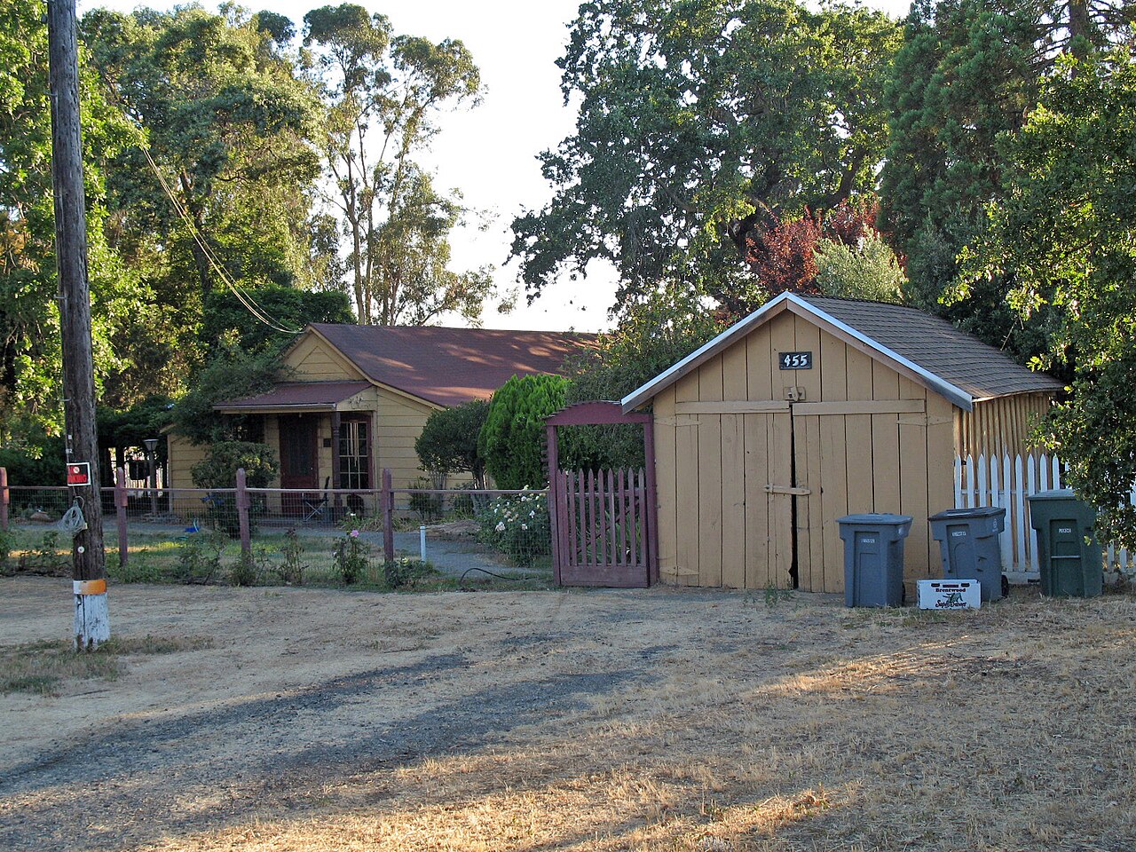
A park on former mission pastureland, home to Livermore's oldest house, built in 1848. Source
The house on the property, built in 1848, is the oldest in Livermore. It was originally constructed to house workers who worked on the range and herded the cattle. In the 1860s to 1870s, a brick yard operated on the slopes of the hill. The park was initially constructed in 1983.
Facilities
- BBQ Grills
- Picnic Area
- Playground
- Historic Site
Facility details: OpenStreetMap, official park information
Getting to Hagemann Park by bus
- East Stanley Boulevard & El Caminito · Routes 10R · 1000 ft from the park
- East Stanley Boulevard & Wall Street · Routes 10R · 1290 ft from the park
Bus stops within about a quarter mile of Hagemann Park, mapped in OpenStreetMap. Check the transit agency for schedules.
Rules & reservations
Official park pageMap & directions
459 Olivina Avenue, Livermore, CA
37.681674, -121.795581Get directions
Nearby parks
Straight-line distanceRobertson ParkLivermore · 2.2 mi · BBQ Grills, Disc GolfShadow Cliffs Regional Recreation AreaPleasanton · 2.7 mi · Boat Launch, Picnic AreaRobert Livermore ParkLivermore · 3.0 mi · Playground, Tennis CourtsHoldener ParkLivermore · 3.4 miSycamore Grove ParkLivermore · 3.7 mi · Drinking Water, Historic Site
Continue exploring
Alameda County parks Parks in Livermore PlaygroundsSources & verification
Last verified: Oct 16, 2026- California Protected Areas Database (CPAD) 2026aname, county, agency, access, acres
- LARPD park pageofficial_url, address, description, facilities.picnic-area, facilities.playground, facilities.historic-site
- OpenStreetMap facilities and trailsfacilities.bbq-grills
- U.S. Census Bureau place boundariescity
- Official park page (checked for dog and fee information)unstated.dogs, unstated.fees
- OpenStreetMap: parking, restrooms, water, trailheads, trail lines, and bus stopsvisit
- Official park page (introduction excerpt)intro