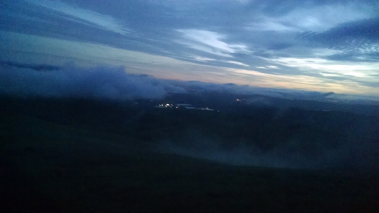
Mission Peak Regional Preserve
Fremont, Alameda County, CA
- Size
- 3,006 acres Source
- Managed by
- East Bay Regional Park District
About Mission Peak Regional Preserve
A steep climb above Fremont to Mission Peak, with views across the South Bay. Source
Rising steeply to the east of the city of Fremont, Mission and Monument peaks form a dramatic backdrop to the South Bay. The determined and conditioned hiker who reaches the top of Mission Peak will be rewarded with views of Mount Hamilton to the south, the Santa Cruz Mountains to the west, Mt. Tamalpais to the north, and Mt. Diablo and the Sierra Nevada to the northeast.
Facilities
- Camping
- Drinking Water
- Picnic Area
- Restrooms
Facility details: OpenStreetMap
Mission Peak Regional Preserve at a glance
- PParking · 1: Stanford Avenue Staging Area Parking (43 spaces)
- WCRestrooms · 4
- WDrinking water · 1
- Named trails · 12
Outline: CPAD. Points and trail lines: OpenStreetMap contributors. Not for navigation.
Trails
| Trail | Mapped length | Elevation | Surface & uses |
|---|---|---|---|
| Peak Trail | 2.9 mi | 1,678 ft up & down549–2,510 ft | BikesUnpaved |
| Panorama Trail | 2.5 mi | 1,221 ft up & down565–1,238 ft | Bikes |
| Hidden Valley Trail | 2.4 mi | 1,543 ft up & down381–1,945 ft | UnpavedBikes |
| Bay Area Ridge Trail | 2.3 mi | 1,496 ft up & down1,117–2,519 ft | UnpavedBikes |
| Peak Meadow Trail | 2 mi | 1,201 ft up & down491–1,504 ft | No bikesBikes |
| Mission Peak to Monument Peak Trail | 1.5 mi | 406 ft up & down2,326–2,480 ft | Unpaved |
| Horse Heaven Trail | 1.2 mi | 990 ft up & down1,392–2,309 ft | UnpavedNo bikes |
| YSC Trail | 0.9 mi | 262 ft up & down665–808 ft | No bikes |
| Grove Trail | 0.8 mi | 360 ft up & down1,744–2,141 ft | UnpavedNo bikes |
| Laurel Loop Trail | 0.7 mi | 363 ft up & down1,761–2,103 ft | BikesNo bikes |
| Eagle Loop Trail | 0.7 mi | 300 ft up & down2,211–2,358 ft | UnpavedBikes |
| Eagle Trail | 0.7 mi | 273 ft up & down1,945–2,105 ft | UnpavedBikes |
Trail names and mapped lengths come from OpenStreetMap; lengths count only the part inside the park boundary. Up-and-down totals (climbing plus descent, one way) and elevation ranges are estimates from USGS 3DEP elevation (about 15 m grid) sampled along the mapped line. Use the official guide map for the route and current closures.
Getting to Mission Peak Regional Preserve by bus
- Ohlone College - Key D · Routes 210, 217 · 290 ft from the park
- Ohlone College - Key C · Routes 210 · 420 ft from the park
Bus stops within about a quarter mile of Mission Peak Regional Preserve, mapped in OpenStreetMap. Check the transit agency for schedules.
Rules & reservations
Official park page- Dogs
Dogs must be leashed in parking lots, picnic areas, lawns, and other developed areas, and may be off leash under control in undeveloped open space (district rules). Source
Some areas reached from Stanford Avenue close at 8–9 p.m.; see the park map.
Map & directions
43600 Mission Blvd., Fremont, CA (Ohlone entrance)
Nearby parks
Straight-line distanceContinue exploring
Alameda County parks Parks in FremontSources & verification
Last verified: Oct 15, 2026- California Protected Areas Database (CPAD) 2026aname, county, agency, access, acres
- East Bay Regional Park District dog rulesdogs
- East Bay Regional Park District park pageofficial_url, hours, address, description
- OpenStreetMap facilities and trailsfacilities.camping, facilities.drinking-water, facilities.picnic-area, facilities.restrooms, trails
- U.S. Census Bureau place boundariescity
- OpenStreetMap: parking, restrooms, water, trailheads, trail lines, and bus stopsvisit
- Terrain Tiles elevation (USGS 3DEP), sampled every 20 m along OpenStreetMap trail linestrails.elevation
- Official park page (introduction excerpt)intro