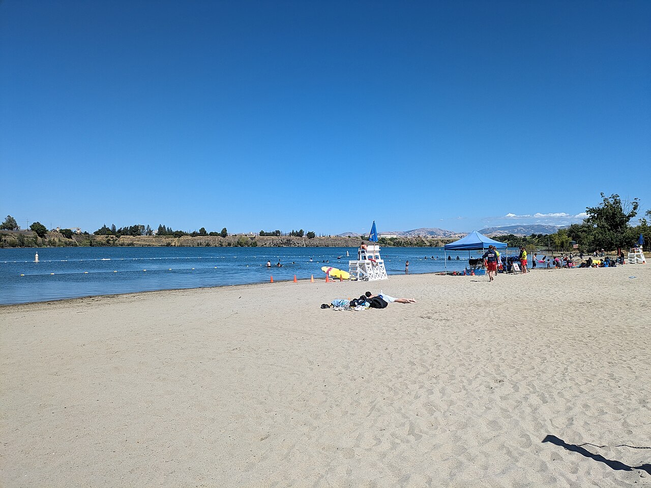
Shadow Cliffs Regional Recreation Area
Pleasanton, Alameda County, CA
- Size
- 259 acres Source
- Swimming
- Reopens in 2027 Source
- Managed by
- East Bay Regional Park District
About Shadow Cliffs Regional Recreation Area
A Pleasanton lake park for fishing, boating, and picnicking. Source
A haven for swimming and fishing can be found at Shadow Cliffs, only a mile from downtown Pleasanton on Stanley Boulevard.
Facilities
- Boat Launch
- Picnic Area
- Swimming
Facility details: OpenStreetMap
Shadow Cliffs Regional Recreation Area at a glance
- PParking · 4
- Named trails · 3
Outline: CPAD. Points and trail lines: OpenStreetMap contributors. Not for navigation.
Trails
| Trail | Mapped length | Elevation | Surface & uses |
|---|---|---|---|
| South Arroyo Trail | 0.5 mi | 31 ft up & down352–374 ft | Unpaved |
| Lilienthal Road | 0.4 mi | 0 ft up & down380–381 ft | |
| North Arroyo Trail | 0.2 mi | 8 ft up & down349–360 ft | Unpaved |
Trail names and mapped lengths come from OpenStreetMap; lengths count only the part inside the park boundary. Up-and-down totals (climbing plus descent, one way) and elevation ranges are estimates from USGS 3DEP elevation (about 15 m grid) sampled along the mapped line. Use the official guide map for the route and current closures.
Getting to Shadow Cliffs Regional Recreation Area by bus
- Shadow Cliffs Regional Recreation Area · Routes 10R · at the park edge
- Stanley Boulevard & Bernal Avenue · Routes 10R · 620 ft from the park
Bus stops within about a quarter mile of Shadow Cliffs Regional Recreation Area, mapped in OpenStreetMap. Check the transit agency for schedules.
Rules & reservations
Official park page- Dogs
Dogs must be leashed in parking lots, picnic areas, lawns, and other developed areas, and may be off leash under control in undeveloped open space (district rules). Source
Gate hours change through the year; check the posted schedule.
Map & directions
2500 Stanley Boulevard, Pleasanton, CA 94566
Nearby parks
Straight-line distanceContinue exploring
Alameda County parksSources & verification
Last verified: Oct 15, 2026- California Protected Areas Database (CPAD) 2026aname, county, agency, access, acres
- East Bay Regional Park District dog rulesdogs
- East Bay Regional Park District park pageofficial_url, hours, address, description, fees, swimming
- OpenStreetMap facilities and trailsfacilities.boat-launch, facilities.picnic-area, facilities.swimming, trails
- U.S. Census Bureau place boundariescity
- OpenStreetMap: parking, restrooms, water, trailheads, trail lines, and bus stopsvisit
- Terrain Tiles elevation (USGS 3DEP), sampled every 20 m along OpenStreetMap trail linestrails.elevation
- Official park page (introduction excerpt)intro