Sycamore Grove Park
Livermore, Alameda County, CA
- Size
- 839 acres Source
About Sycamore Grove Park
An 847-acre open space park in south Livermore for hiking, biking, and nature study, with several entrances off Wetmore and Arroyo roads. Source
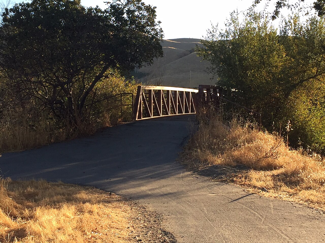
Sycamore Grove Park is a natural space for passive recreation and nature study. It's home to special species like the CA red-legged frog and provides habitat for various animals. The park, originally 364 acres, was expanded in 1999 and 2015, with trail improvements in 2018 and a bridge project completed in 2019.
Facilities
- Drinking Water
- Historic Site
- Picnic Area
- Restrooms
Facility details: OpenStreetMap
Sunrise & sunset
Sycamore Grove Park hours follow the sun (7 a.m. to sunset daily). Mid-month times for this location:
| Month | Sunrise | Sunset |
|---|---|---|
| Jan | 7:20 a.m. | 5:10 p.m. |
| Feb | 6:57 a.m. | 5:44 p.m. |
| Mar | 7:20 a.m. | 7:13 p.m. |
| Apr | 6:33 a.m. | 7:41 p.m. |
| May | 5:58 a.m. | 8:08 p.m. |
| Jun | 5:44 a.m. | 8:29 p.m. |
| Jul | 5:56 a.m. | 8:28 p.m. |
| Aug | 6:22 a.m. | 8:01 p.m. |
| Sep | 6:47 a.m. | 7:16 p.m. |
| Oct | 7:13 a.m. | 6:31 p.m. |
| Nov | 6:46 a.m. | 4:57 p.m. |
| Dec | 7:14 a.m. | 4:49 p.m. |
Calculated from the park's coordinates (NOAA solar equations), Pacific time.
Sycamore Grove Park at a glance
- PParking · 3
- WCRestrooms · 2
- WDrinking water · 3
- Named trails · 12
Outline: CPAD. Points and trail lines: OpenStreetMap contributors. Not for navigation.
Trails
| Trail | Mapped length | Elevation | Surface & uses |
|---|---|---|---|
| Winery Loop | 2.2 mi | 101 ft up & down461–502 ft | UnpavedBikesHorses |
| Arroyo del Valle Regional Trail | 1.6 mi | 79 ft up & down458–529 ft | PavedBikesNo horses |
| Wagon Road Trail | 1.5 mi | 332 ft up & down503–647 ft | BikesHorses |
| Valley View Trail | 1.5 mi | 618 ft up & down622–925 ft | UnpavedBikesHorses |
| Harrier Trail | 1.2 mi | 394 ft up & down618–806 ft | Unpaved |
| Sycamore Trail | 1.1 mi | 31 ft up & down459–486 ft | UnpavedBikesHorses |
| Dry Creek Trail | 0.9 mi | 48 ft up & down475–510 ft | UnpavedNo bikesNo horsesBikesHorses |
| Creek Trail | 0.9 mi | 30 ft up & down463–486 ft | UnpavedNo bikesNo horses |
| Meadowlark Loop | 0.5 mi | 56 ft up & down623–649 ft | BikesHorses |
| Cattail Pond Trail | 0.5 mi | 185 ft up & down641–852 ft | BikesHorses |
| Patterson Ranch Trail | 0.5 mi | 239 ft up & down547–1,006 ft | UnpavedNo bikesNo horsesBikesHorses |
| Magpie Nature Loop | 0.4 mi | 13 ft up & down458–467 ft | UnpavedNo bikesNo horses |
Trail names and mapped lengths come from OpenStreetMap; lengths count only the part inside the park boundary. Up-and-down totals (climbing plus descent, one way) and elevation ranges are estimates from USGS 3DEP elevation (about 15 m grid) sampled along the mapped line. Use the official guide map for the route and current closures.
Rules & reservations
Official park pageMap & directions
1051 Wetmore Rd, Livermore, CA 94550
Nearby parks
Straight-line distanceContinue exploring
Alameda County parks Parks in LivermoreSources & verification
Last verified: Oct 16, 2026- California Protected Areas Database (CPAD) 2026aname, county, agency, access, acres
- LARPD park pageofficial_url, hours, fees, address, description
- OpenStreetMap facilities and trailsfacilities.drinking-water, facilities.historic-site, facilities.picnic-area, facilities.restrooms, trails
- U.S. Census Bureau place boundaries (nearest place)city
- OpenStreetMap: parking, restrooms, water, trailheads, trail lines, and bus stopsvisit
- Terrain Tiles elevation (USGS 3DEP), sampled every 20 m along OpenStreetMap trail linestrails.elevation
- Official park page (introduction excerpt)intro