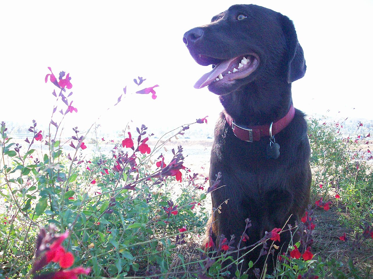
Yorba Regional Park
Anaheim, Orange County, CA
About Yorba Regional Park
A linear day-use park, over a mile long and 140 acres, at the mouth of Santa Ana Canyon in Anaheim. Source
A linear day use park over one mile long and 140 acres, situated in the mouth of Santa Ana Canyon in the city of Anaheim. The linear environment of the park site recaptures the river setting of the adjacent Santa Ana River.
Facilities
- BBQ Grills
- Drinking Water
- Horseshoes
- Playground
- Restrooms
- Volleyball
Facility details: OpenStreetMap
Yorba Regional Park at a glance
- PParking · 13: A, B, C, D
- WCRestrooms · 6
- WDrinking water · 3
Outline: CPAD. Points and trail lines: OpenStreetMap contributors. Not for navigation.
Getting to Yorba Regional Park by bus
- La Palma-Jenifer · Routes 38 · at the park edge
- La Palma-Fairmont · Routes 38 · at the park edge
- La Palma-Lynwood · Routes 38 · at the park edge
- La Palma-Potomac · Routes 38 · at the park edge
Bus stops within about a quarter mile of Yorba Regional Park, mapped in OpenStreetMap. Check the transit agency for schedules.
Rules & reservations
Official park pageFall–winter: 7 a.m. to 6 p.m. Spring–summer: 7 a.m. to 9 p.m.
Map & directions
33.866224, -117.771080Get directions
Nearby parks
Straight-line distanceSantiago Oaks Regional ParkOrange · 3.7 mi · Picnic Area, PlaygroundCarbon Canyon Regional ParkBrea · 5.3 mi · BBQ Grills, Drinking WaterTri-City Regional ParkPlacentia · 6.1 mi · BBQ Grills, Drinking WaterPeters Canyon Regional ParkTustin · 6.5 mi · Picnic Area, RestroomsTed Craig Regional ParkFullerton · 7.0 mi · Picnic Area, Playground
Continue exploring
Orange County parks PlaygroundsSources & verification
Last verified: Oct 16, 2026- California Protected Areas Database (CPAD) 2026aname, county, agency, access, acres
- OC Parks park pageofficial_url, hours, hours_note, fees, dogs, description
- OpenStreetMap facilities and trailsfacilities.bbq-grills, facilities.drinking-water, facilities.horseshoes, facilities.playground, facilities.restrooms, facilities.volleyball
- U.S. Census Bureau place boundariescity
- OpenStreetMap: parking, restrooms, water, trailheads, trail lines, and bus stopsvisit
- Official park page (introduction excerpt)intro