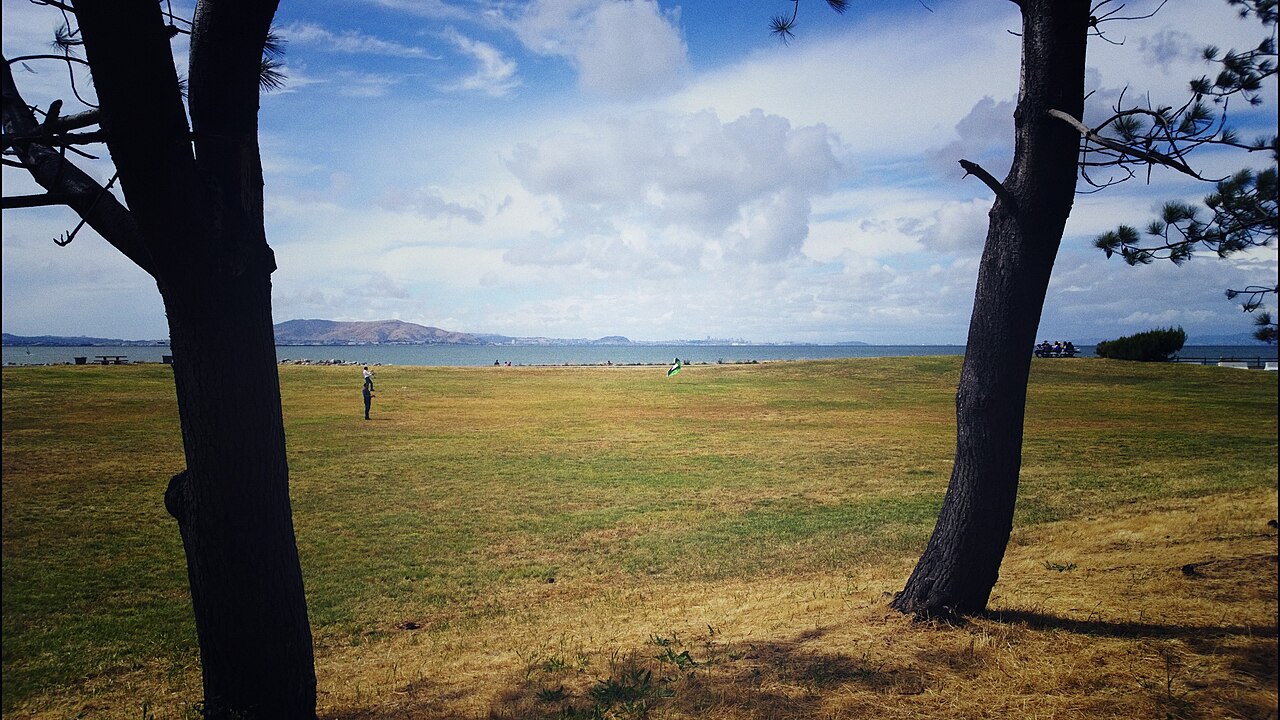
Coyote Point Recreation Area
San Mateo, San Mateo County, CA
- Size
- 670 acres Source
- Managed by
- San Mateo County Parks
About Coyote Point Recreation Area
Bayfront trails, picnic areas, and a marina on San Francisco Bay. Source
Facilities
- Picnic Area
- Boat Launch
- Fishing
- Restrooms
- PlaygroundClosed
Facility details: official park information, official park information
Coyote Point Recreation Area at a glance
- PParking · 4
- WCRestrooms · 6
- WDrinking water · 6
Outline: CPAD. Points and trail lines: OpenStreetMap contributors. Not for navigation.
Getting to Coyote Point Recreation Area by bus
- 332 Airport Boulevard (BUR 102) · 1010 ft from the park
Bus stops within about a quarter mile of Coyote Point Recreation Area, mapped in OpenStreetMap. Check the transit agency for schedules.
Activities
- Boating
- Marina and Bay access.
- Biking
- Use designated paved areas.
Rules & reservations
Official park page- Dogs
Dogs on leash are allowed on designated and posted trails; CuriOdyssey and signed areas prohibit dogs. Source
- Dog access
Keep dogs on leash in posted dog-access areas; dogs are prohibited in CuriOdyssey. Source
Closing times vary by season; see the current dated schedule.
Visit official reservationsMap & directions
1701 Coyote Point Drive, San Mateo, CA 94401
37.587953, -122.327263Get directions
Nearby parks
Straight-line distanceJunipero Serra ParkSan Bruno · 5.5 mi · BBQ Grills, Drinking WaterSan Pedro Valley ParkPacifica · 7.5 mi · BBQ Grills, Drinking WaterPulgas Ridge Open Space PreserveSan Carlos · 7.7 mi · RestroomsSan Bruno Mountain State and County ParkColma · 8.8 mi · Playground, Skate ParkEdgewood Park and Natural PreserveRedwood City · 8.9 mi · Drinking Water, Picnic Area
Continue exploring
San Mateo County parksSources & verification
Last verified: Oct 14, 2026- San Mateo County park informationname, county, city, agency, access, address, description, activities
- County district park overviewacres
- Official dog-access rulesdogs, rules
- Official seasonal hourshours, hours_note
- Official facilities and reservationsfacilities, reservations_url
- Official construction and closure noticealerts, facilities.playground, facilities.restrooms
- OpenStreetMap address locationcentroid
- OpenStreetMap address locationcentroid
- OpenStreetMap: parking, restrooms, water, trailheads, trail lines, and bus stopsvisit