Devil's Slide Trail
Pacifica, San Mateo County, CA
- Size
- 99 acres Source
- Managed by
- San Mateo County Parks
About Devil's Slide Trail
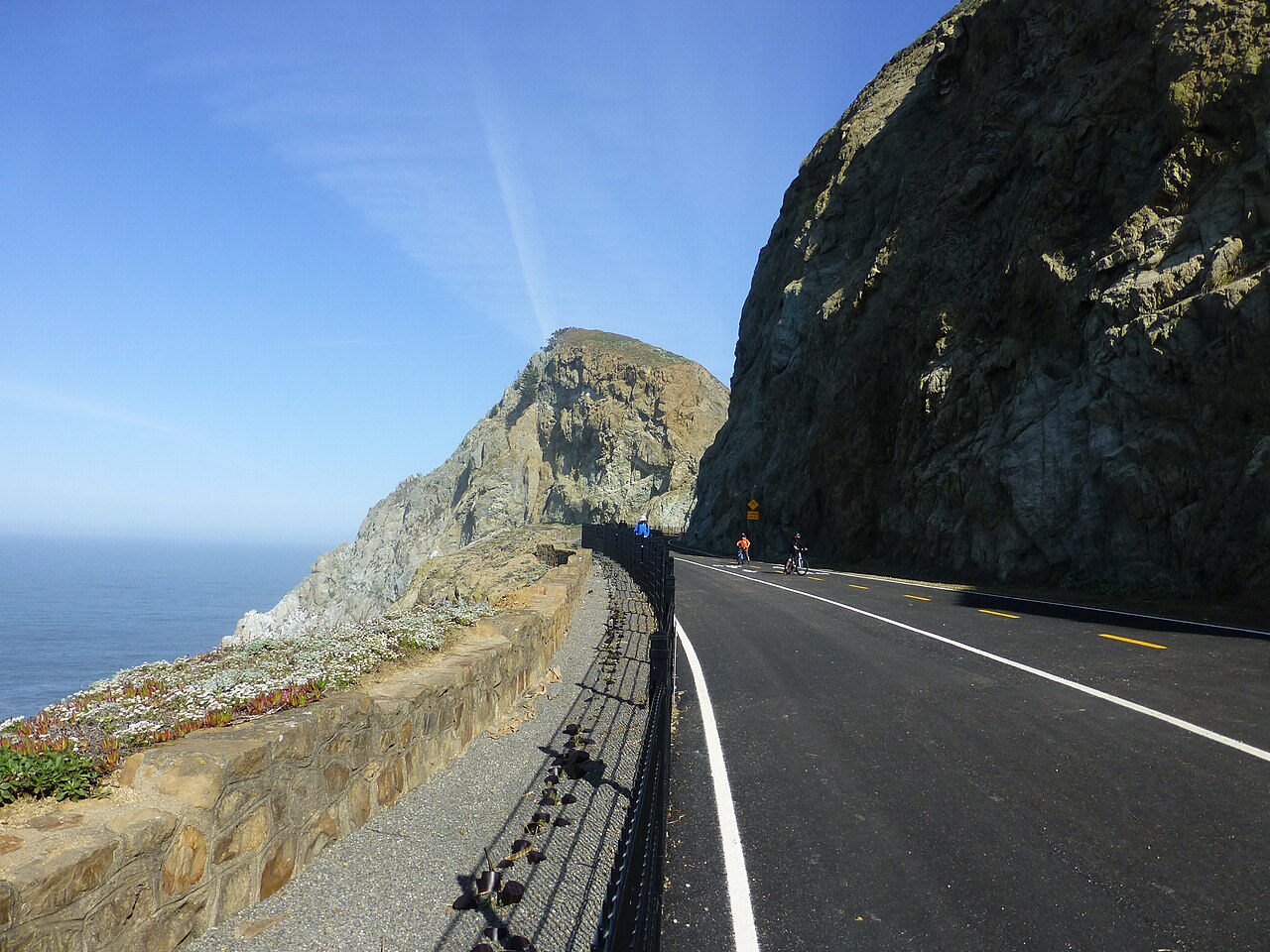
A paved 1.3-mile trail on a former stretch of Highway 1 above the Pacific, with overlooks and interpretive signs. Source
Devil’s Slide Trail is a 1.3-mile multi-use trail, converted from a former segment of Highway 1, that gives hikers, runners, bicyclists and equestrians access the rocky heights of Devil’s Slide above the Pacific Ocean. At provided overlooks, trail users may rest on benches and gaze through observation scopes and take in the view of the rocky coastal waters below.
Facilities
- Drinking Water
- Historic Site
- Restrooms
Facility details: OpenStreetMap
Devil's Slide Trail at a glance
- PParking · 4
- WCRestrooms · 2
- WDrinking water · 2
Outline: CPAD. Points and trail lines: OpenStreetMap contributors. Not for navigation.
Rules & reservations
Official park page- Dogs
Dogs must stay on leash (6 feet or less near others), no more than 3 per person, and out of playgrounds (county dog rules). Source
- Fees
The official park page does not list an entry or parking fee. Check with San Mateo County Parks before you go. Source
The trail is open year-round, including holidays.
Map & directions
Devil's Slide Trail Pacifica, CA 94044
37.577349, -122.516912Get directions
Nearby parks
Straight-line distanceSan Pedro Valley ParkPacifica · 2.9 mi · BBQ Grills, Drinking WaterFitzgerald Marine ReserveMoss Beach · 3.8 mi · Drinking Water, Historic SitePillar Point BluffMoss Beach · 4.9 mi · RestroomsJunipero Serra ParkSan Bruno · 5.6 mi · BBQ Grills, Drinking WaterSan Bruno Mountain State and County ParkColma · 8.6 mi · Playground, Skate Park
Continue exploring
San Mateo County parksSources & verification
Last verified: Oct 15, 2026- California Protected Areas Database (CPAD) 2026aname, county, agency, access, acres
- Dogs at San Mateo County Parksdogs
- San Mateo County Parks park pageofficial_url, address, description
- Park hours pagehours, hours_note
- OpenStreetMap facilities and trailsfacilities.drinking-water, facilities.historic-site, facilities.restrooms
- U.S. Census Bureau place boundaries (nearest place)city
- Official park page (checked for dog and fee information)unstated.fees
- OpenStreetMap: parking, restrooms, water, trailheads, trail lines, and bus stopsvisit
- Official park page (introduction excerpt)intro