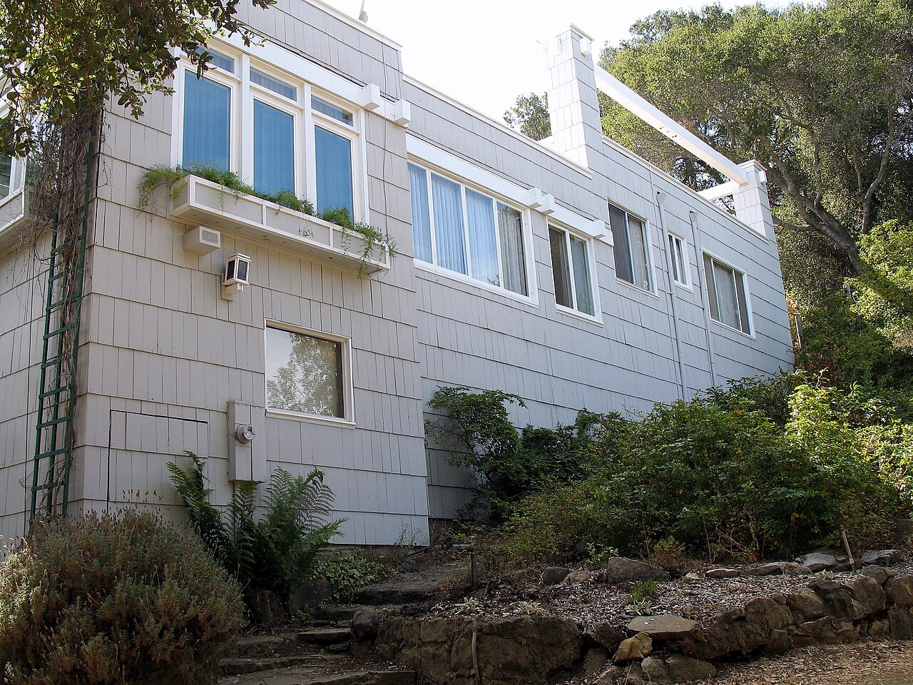
Fremont Older Open Space Preserve
Cupertino, Santa Clara County, CA
- Size
- 732 acres Source
About Fremont Older Open Space Preserve
A 739-acre preserve on the urban edge near Stevens Creek County Park for hiking, biking, and riding. Source
Located on the urban fringe and extending towards Mt. Eden Road to the south and Stevens Creek County Park to the west, the 739-acre Preserve offers a variety of experiences to hikers, bicyclists, and equestrians. Local visitors will find Fremont Older Open Space Preserve of particular interest because of its proximity and richness in local history.
Facilities
- Restrooms
Facility details: official park information
Sunrise & sunset
Fremont Older Open Space Preserve hours follow the sun (Sunrise to sunset ±30 min). Mid-month times for this location:
| Month | Sunrise | Sunset |
|---|---|---|
| Jan | 7:21 a.m. | 5:12 p.m. |
| Feb | 6:58 a.m. | 5:46 p.m. |
| Mar | 7:21 a.m. | 7:14 p.m. |
| Apr | 6:34 a.m. | 7:41 p.m. |
| May | 6:00 a.m. | 8:08 p.m. |
| Jun | 5:46 a.m. | 8:29 p.m. |
| Jul | 5:58 a.m. | 8:29 p.m. |
| Aug | 6:23 a.m. | 8:02 p.m. |
| Sep | 6:49 a.m. | 7:18 p.m. |
| Oct | 7:14 a.m. | 6:32 p.m. |
| Nov | 6:46 a.m. | 4:59 p.m. |
| Dec | 7:14 a.m. | 4:51 p.m. |
Calculated from the park's coordinates (NOAA solar equations), Pacific time.
Fremont Older Open Space Preserve at a glance
- PParking · 2
- WCRestrooms · 1
- Named trails · 11
Outline: CPAD. Points and trail lines: OpenStreetMap contributors. Not for navigation.
Trails
| Trail | Mapped length | Elevation | Surface & uses |
|---|---|---|---|
| Coyote Ridge Trail | 2.1 mi | 368 ft up & down905–1,151 ft | UnpavedBikesHorses |
| Seven Springs Loop Trail | 1.7 mi | 619 ft up & down539–891 ft | UnpavedBikesHorses |
| Toyon Trail | 1.3 mi | 588 ft up & down906–1,063 ft | UnpavedBikesHorsesNo bikes |
| Tony Look / Stevens Creek Trail | 0.8 mi | ||
| Hayfield Trail | 0.7 mi | 260 ft up & down825–1,027 ft | UnpavedBikesHorses |
| Bay View Trail | 0.6 mi | 125 ft up & down997–1,071 ft | BikesHorsesUnpaved |
| Vista Loop Trail | 0.5 mi | 159 ft up & down977–1,146 ft | BikesHorses |
| Ranch Road | 0.5 mi | 274 ft up & down495–801 ft | UnpavedNo bikesNo horsesBikesHorses |
| Rainbow Knoll Trail | 0.4 mi | 118 ft up & down754–841 ft | UnpavedBikesHorses |
| Wedding Trail | 0.4 mi | 105 ft up & down984–1,070 ft | UnpavedBikesHorses |
| Cora Older Trail | 0.4 mi | 159 ft up & down602–773 ft | BikesHorses |
| Woodhills Trail | 0.4 mi | 132 ft up & down797–933 ft | UnpavedBikesHorses |
Trail names and mapped lengths come from OpenStreetMap; lengths count only the part inside the park boundary. Up-and-down totals (climbing plus descent, one way) and elevation ranges are estimates from USGS 3DEP elevation (about 15 m grid) sampled along the mapped line. Use the official guide map for the route and current closures.
Rules & reservations
Official park page- Dogs
Leash 6 feet or shorter; dogs are not allowed in any Midpen water areas (district rules). Source
Open a half-hour before sunrise until a half-hour after sunset.
Map & directions
Nearby parks
Straight-line distanceContinue exploring
Santa Clara County parks Parks in CupertinoSources & verification
Last verified: Oct 15, 2026- California Protected Areas Database (CPAD) 2026aname, county, agency, access, acres
- Midpen preserve pageofficial_url, hours, hours_note, dogs, facilities.restrooms, description
- Midpen visitor FAQ (no entry or parking fees)fees
- Midpen dog access rulesdogs
- OpenStreetMap facilities and trailstrails
- U.S. Census Bureau place boundaries (nearest place)city
- OpenStreetMap: parking, restrooms, water, trailheads, trail lines, and bus stopsvisit
- Terrain Tiles elevation (USGS 3DEP), sampled every 20 m along OpenStreetMap trail linestrails.elevation
- Official park page (introduction excerpt)intro